In this guide
- 01The Route At A Glance: 4 Days From Matsushima To Morioka
- 02Day 1: Matsushima Bay, Zuiganji, And An Unhurried Start
- 03Day 2: Driving North Along The Sanriku Coast (Sanriku Fukko National Park)
- 04Day 3: Jodogahama And Kitayamazaki, With Fog-Plan Flexibility
- 05Day 4: Hachimantai Aspite Line And The Hachiman-numa Boardwalk
- 06Summer Or Early Autumn: When To Take This 4-Day Route
- 07Why This Route Works By Car (And Why It’s Hard By Anything Else)
- 08How Japan Royal Service Approaches This 4-Day Tohoku Drive
Tohoku is where Japan’s Pacific edge and its high, quiet interior sit close enough to share one trip, but far enough apart that most itineraries never let them meet. That’s the missed opportunity.
This four-day private-car route links three places that belong together: Matsushima Bay in Miyagi, the Rikuchu coast in Iwate, and the Hachimantai plateau on the Iwate–Akita border. Short list. Big change of scenery.
You get sea air and pine-covered islands first, then cliffs and white rocks along Sanriku Fukko National Park, then a flat-topped volcanic plateau with boardwalk paths and early-autumn color. Our team at Japan Royal Service plans it for summer and early autumn, with enough slack to handle fog, road rules, and the kind of weather that rewrites a day without warning.
The Route At A Glance: 4 Days From Matsushima To Morioka
This is a linear route with honest pacing. No frantic checklists. One long coastal day is intentional, because it keeps the dramatic shoreline where it belongs: in daylight, with time to stop when the view opens.
We assume you arrive into Sendai by rail, then begin by car in Matsushima. You finish in Morioka for your onward train. Simple.
- Day 1 (Miyagi): Matsushima Bay cruise, Zuiganji Temple, and Godaidō. If you travel on 15–16 August, consider Umi no Bon in the evening.
- Day 2 (Iwate coast): Drive north along the Sanriku coastline within Sanriku Fukko National Park, with flexible scenic stops and a quiet, respectful memorial touchpoint.
- Day 3 (Miyako / Tanohata area): Jodogahama’s white rocks, then Kitayamazaki’s sea cliffs (about 200 m high). Optional short stretch on the Sanriku Railway. Move inland toward Morioka.
- Day 4 (Iwate–Akita border): Hachimantai Aspite Line and the Hachiman-numa boardwalk loop (about 1 km around). End in Morioka for departure by rail.
For deeper detail on each destination, we link out to the dedicated JRS Journal pages rather than repeating them here.
That keeps this post focused on what you actually need: how the route works.
Day 1: Matsushima Bay, Zuiganji, And An Unhurried Start
Matsushima is an easy coastal gateway because it’s less than an hour by train from Sendai. Good logistics. Better atmosphere.
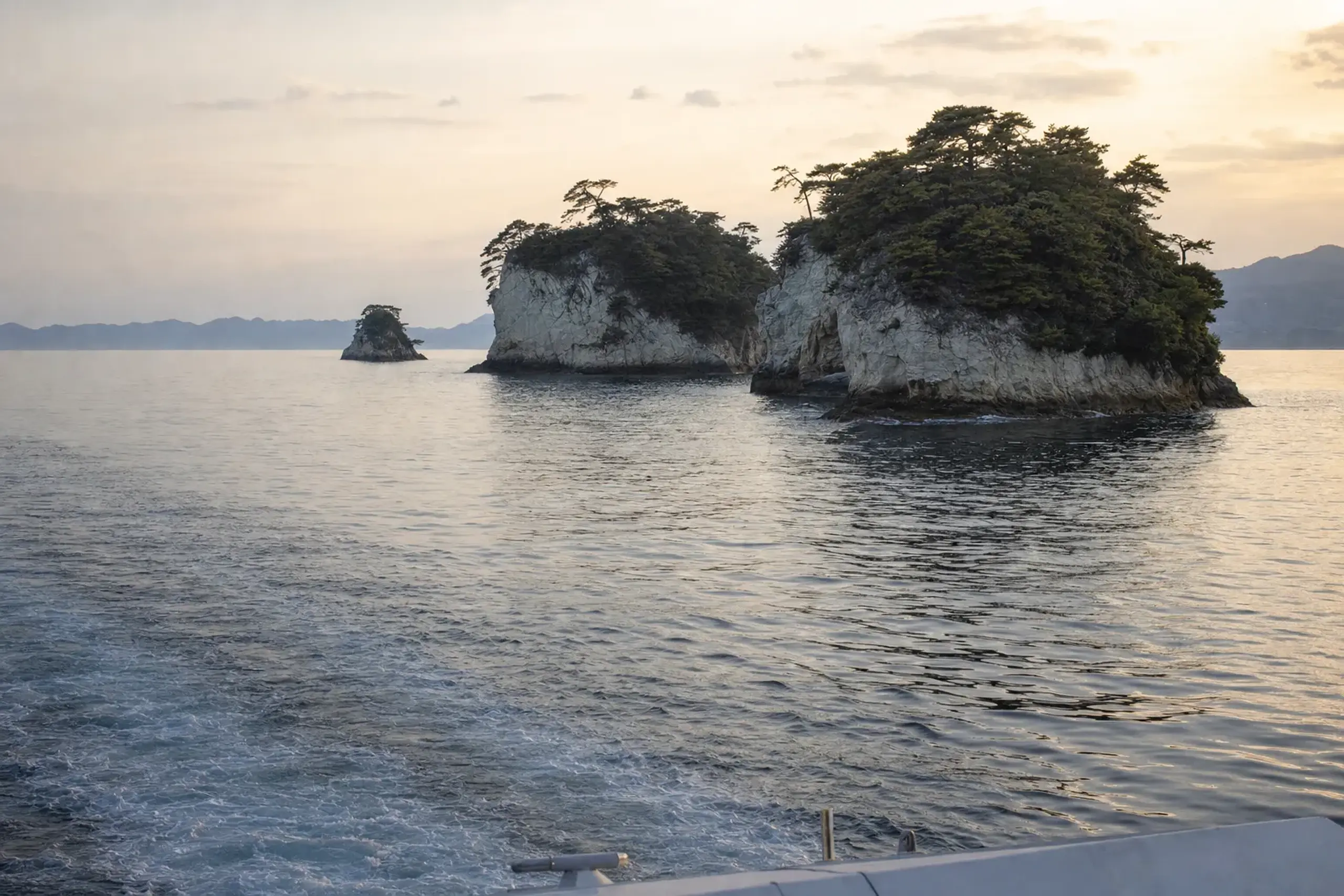
Matsushima Bay is known for having over 260 islands, and it’s counted among Japan’s Three Scenic Views (Nihon Sankei), along with Miyajima and Amanohashidate. It’s a place where the water does half the talking, especially in late afternoon when the bay turns steel-blue.
Most guests begin with a sightseeing cruise. They operate year-round, and they’re the fastest way to understand the geography: small islands, pine shapes, and narrow channels that change the view every few minutes. You can keep the rest of the day light, because tomorrow is a driving day.
On land, we steer you toward two anchors.
- Zuiganji Temple: the main hall and corridors are National Treasures, completed in 1609 under Date Masamune.
- Godaidō: an Important Cultural Property, rebuilt in 1605, sitting out over the water.
Near Zuiganji, JNTO notes Entsuin Temple next door, built in 1646 by Date Tadamune.
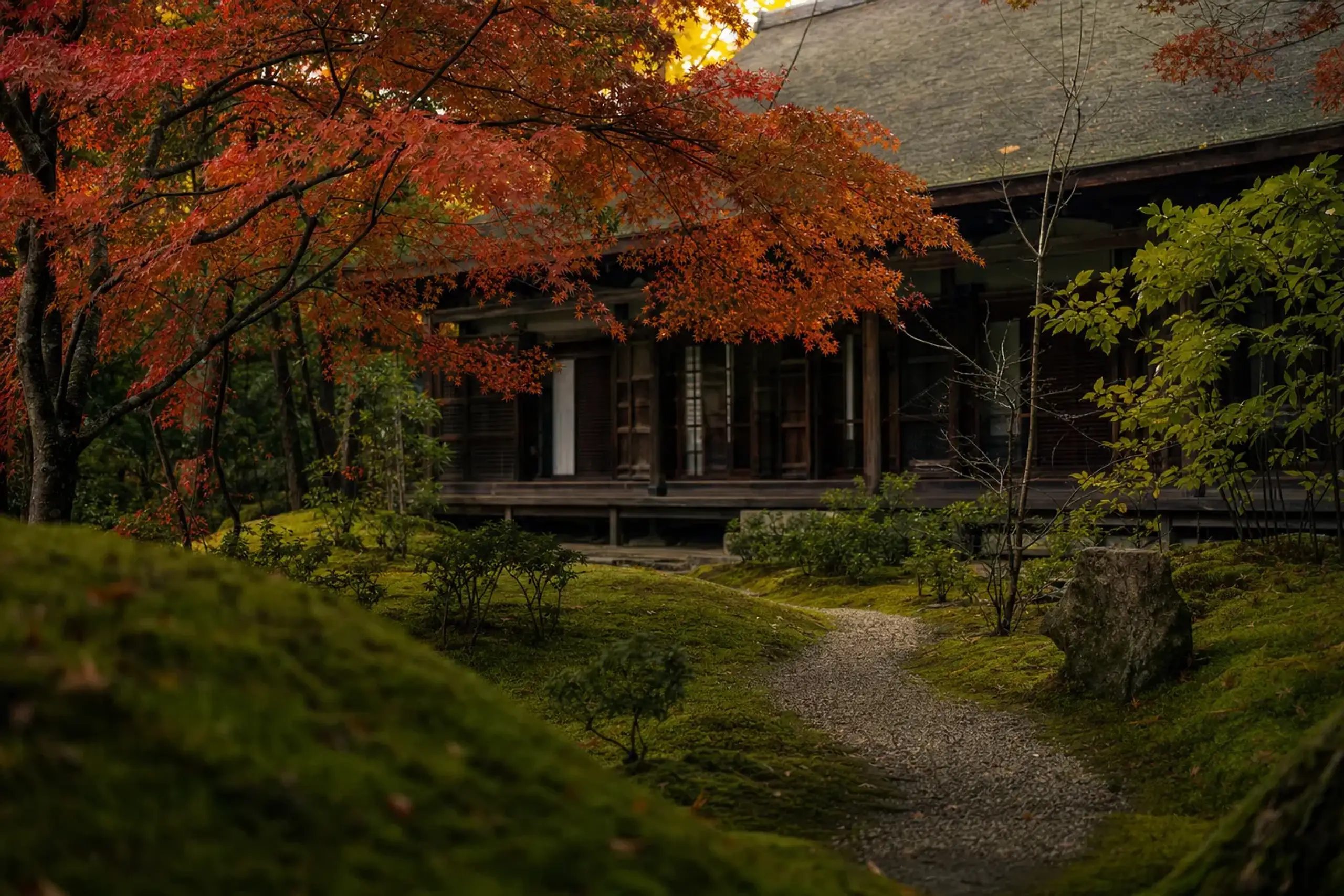
If you prefer a softer pace, this is where it fits: a measured walk, a pause, and then back to the bay.
If you’re traveling in mid-August, Matsushima has a reason to stay out after dark. The Matsushima Ryutoe Umi no Bon memorial festival is held on 15 and 16 August. The mood is restrained. The light is the point.
For more destination detail, see our dedicated guide: Matsushima in Summer: The Bay, the Temples and Umi no Bon. If your dates overlap with Obon season more broadly, this planning piece helps you set expectations: Obon in Japan.
Day 2: Driving North Along The Sanriku Coast (Sanriku Fukko National Park)
Today is built for momentum. Long views. And the freedom to stop the moment the coastline looks sharp.
The Rikuchu coast lies within Sanriku Fukko National Park, and you’ll still hear the older name “Rikuchu Kaigan.” This shoreline is also threaded by the Michinoku Coastal Trail, a long-distance trail that runs for more than 1,000 km from Hachinohe (Aomori) to Sōma (Fukushima). You are not hiking that scale on this trip, but it’s a useful mental map: the coast is a chain of towns, headlands, and viewpoints.
We usually suggest one or two short “micro-walks” where the footing is straightforward and the sea is close enough to hear.
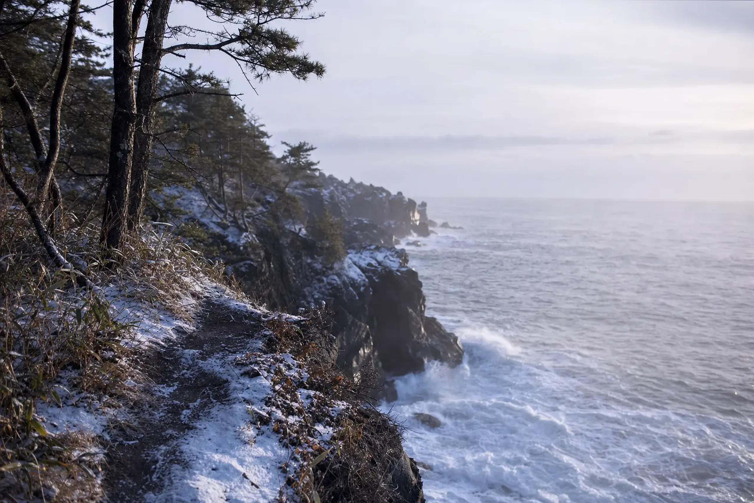
Keep it modest. Two hours can be plenty when you’re also driving.
One quiet note. In several coastal communities, memory of 2011 remains present. The Ministry of the Environment lists tsunami memorial sites within the park, including the Miracle Lone Pine in Rikuzentakata (the one surviving tree of about 70,000) and Tsunami Memorial Park Nakanohama. If you choose to include a memorial stop, we recommend doing it without turning it into “content,” and we keep the timing gentle so the rest of the day can return to the landscape.
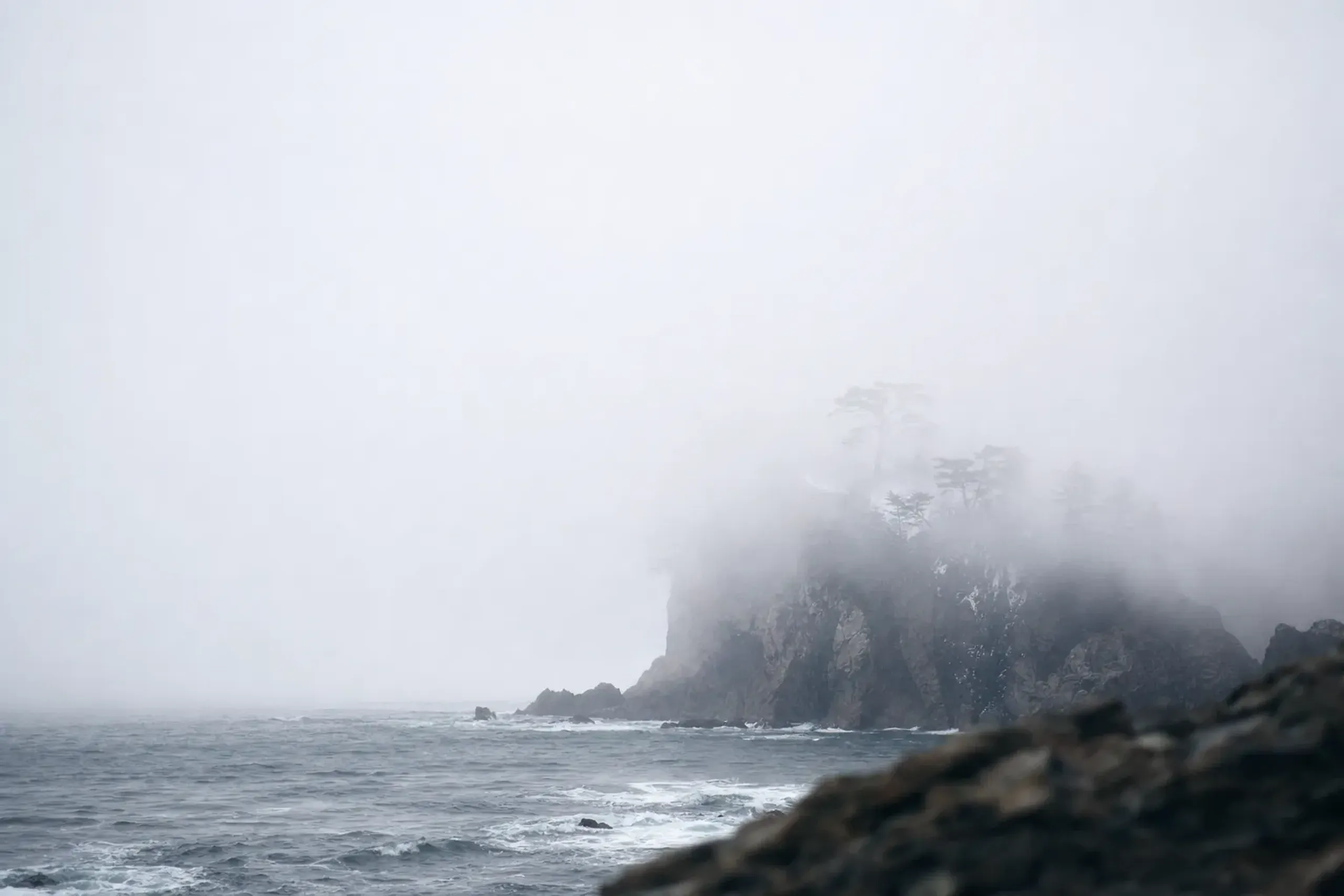
Weather can complicate the coast. Summer brings yamase, a cool sea fog that can hide entire headlands. That’s why this day is not over-programmed, and why a car-based route needs flexibility, not bravado.
Key fact: If fog rolls in, our concierge team confirms alternative coastal stops directly with the guest at time of arrangement.
Day 3: Jodogahama And Kitayamazaki, With Fog-Plan Flexibility
This is the day you came for on the Iwate coast. White rock. Dark water. Vertical cliffs.
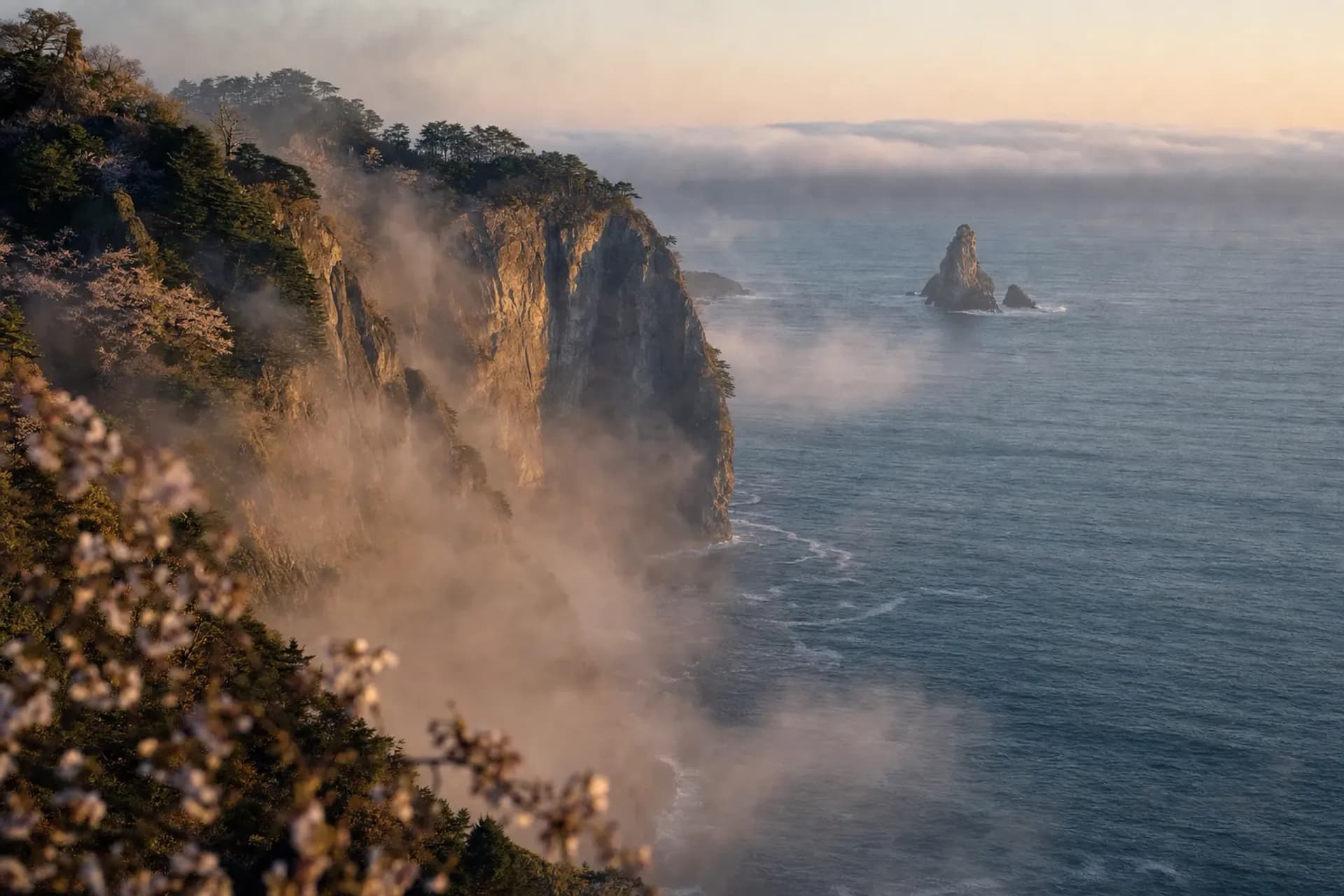
Jodogahama is in Miyako. It’s known for white rhyolite rocks said to be about 44 million years old, and the contrast is immediate: pale stone against the Pacific, with coves that feel sheltered even when the sea looks stern.
There is also a practical rule here that changes how you plan a car day. General vehicles are restricted inside the Jodogahama park area from 1 April to 31 October (Miyako City).
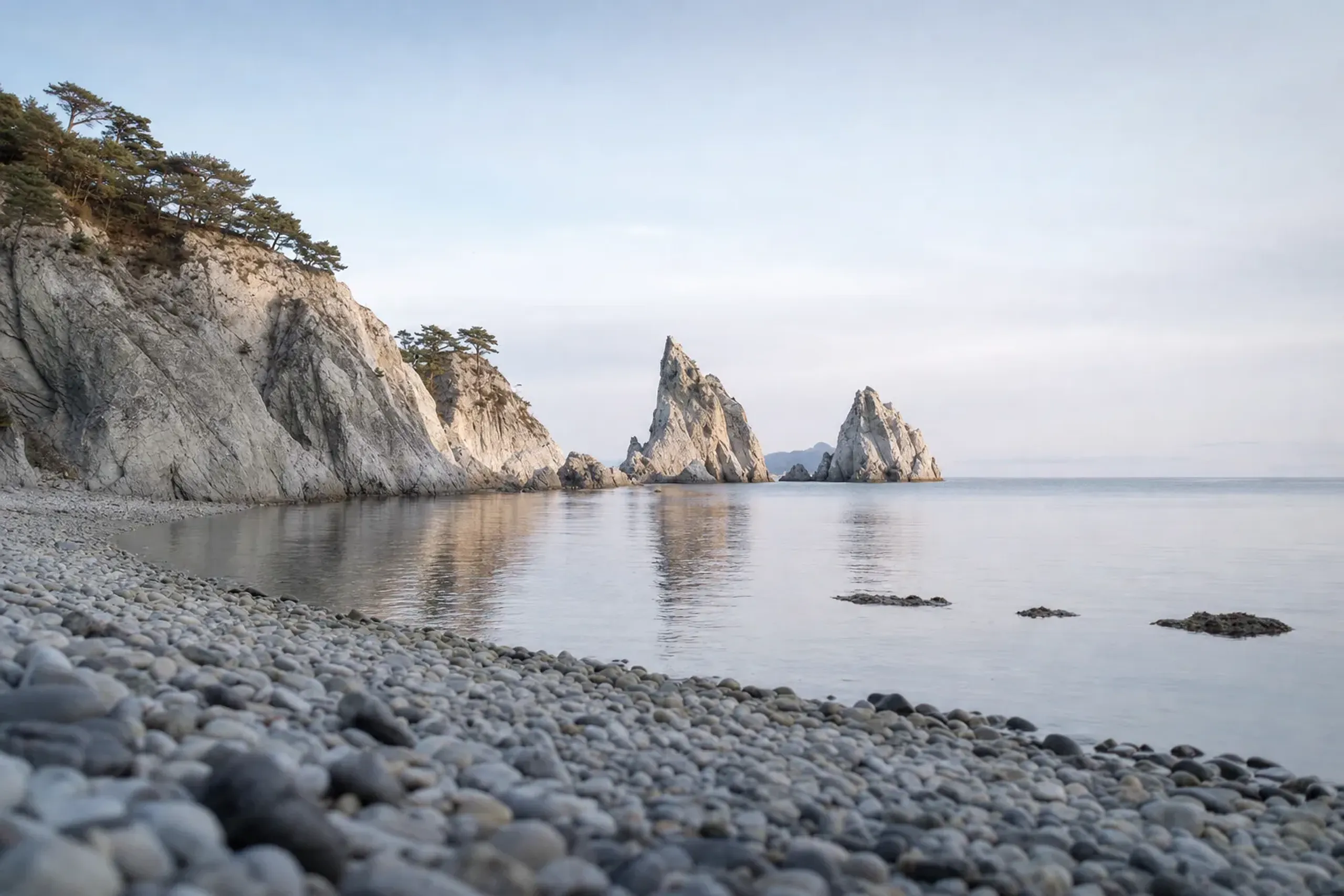
That doesn’t make the visit difficult, but it does mean you plan the approach, drop-off, and walking segments with intention rather than improvising on the spot.
Later, you move on to Kitayamazaki, lined with sea cliffs about 200 m high. When the air is clear, the scale reads instantly. When yamase fog arrives, the cliffs appear and disappear in strips, which can be strange and beautiful, but it can also erase the view entirely.
This is why we keep the day adjustable. If visibility is poor at one site, you can pivot and return later, or flip the order. No panic. Just a change of rhythm.
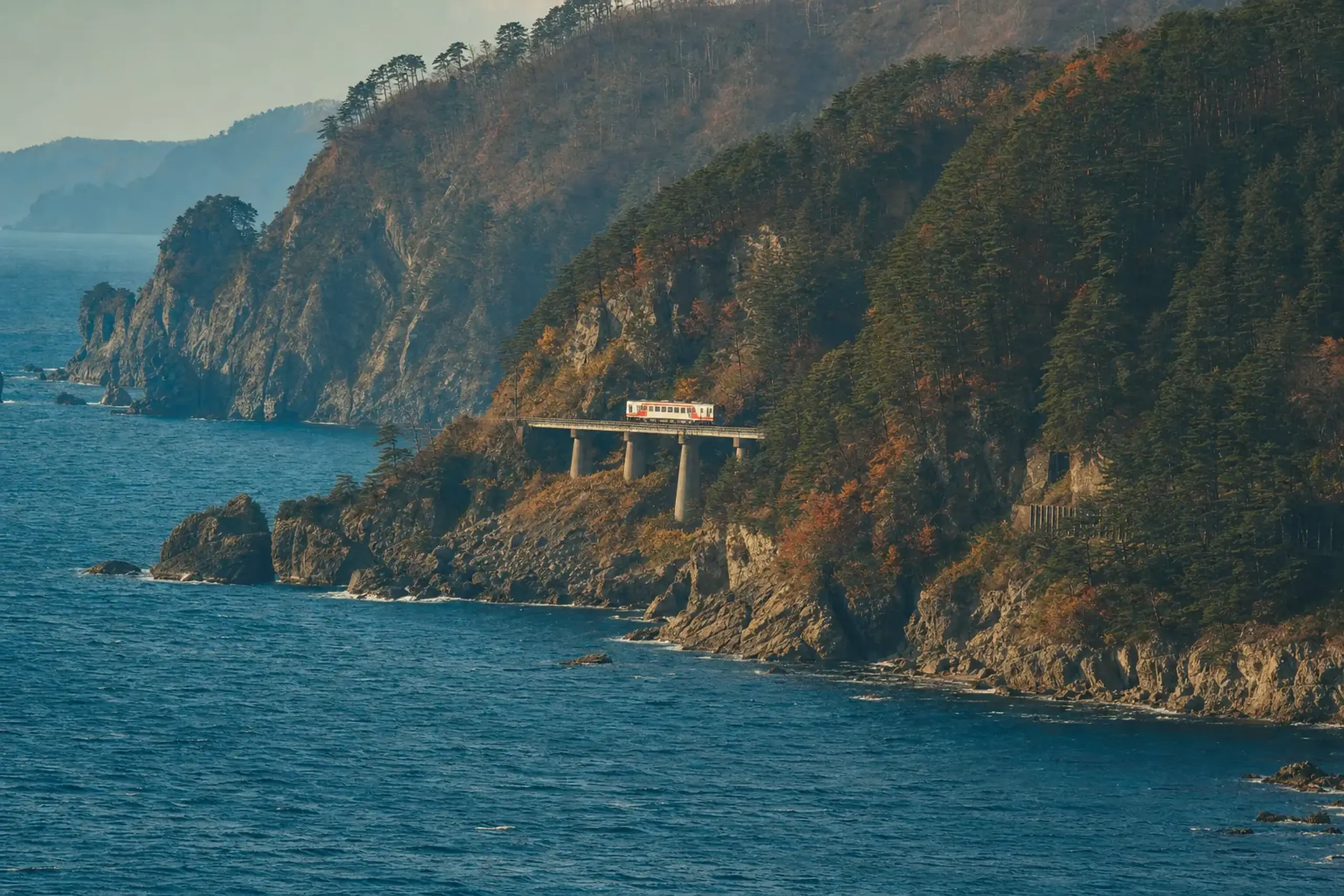
If you want a short rail interlude, the Sanriku Railway runs along this coast, and Tanohata Station is the nearest station to Kitayamazaki. It’s not about speed. It’s about letting someone else steer while you watch the shoreline pass.
For a deeper look at these two coastal highlights and how the shoreline behaves in summer, see: The Rikuchu Coast in Summer: Cliffs, Jodogahama and Rail.
By late day, you begin moving inland toward Morioka. Different air. Different light. The coast drops away behind you.
Day 4: Hachimantai Aspite Line And The Hachiman-numa Boardwalk
Hachimantai changes the trip from “coast drive” to “Tohoku in full.” One plateau does that.
Hachimantai is a broad, flat-topped volcanic plateau in Towada-Hachimantai National Park, on the Iwate–Akita border. The summit reaches 1,613 m, and even in summer the temperature can feel clean and brisk compared with cities.
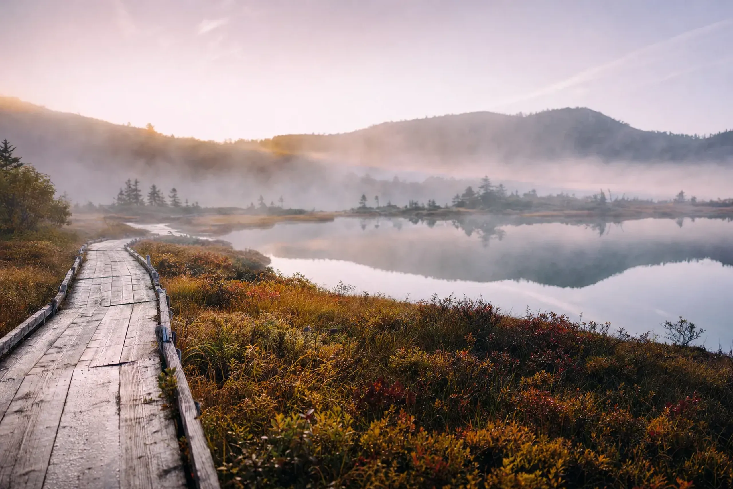
The classic drive is the Hachimantai Aspite Line, a road that crosses the plateau. Its upper section is closed from early November to late April. If you are close to the shoulder seasons, our concierge team confirms road conditions directly with the guest at time of arrangement.
For a walk that feels like nature without feeling like a trek, Hachiman-numa is a good fit. The pond is about 1 km around, with small marshes on either side and a boardwalk. Quiet, readable, and satisfying.
Then you descend and end the route in Morioka, timed for your onward rail. If you arrived in Sendai by train, this completes a clean “rail in / rail out” arc without backtracking.
For a destination-only view of the plateau, see: Hachimantai in Summer: The Plateau and the Aspite Line. If you are building a longer Tohoku trip, you may also want our inland-focused route: 7 Days in Tohoku in Summer.
Summer Or Early Autumn: When To Take This 4-Day Route
Both seasons work, but they feel different. Choose based on what you want the air to do.
Summer (July to August) on the Pacific side can feel cool, and the coast’s character is part of the appeal. It’s also when you may meet yamase fog, which is exactly why the route is designed with extra room and alternate viewpoints. If your dates are 15–16 August, you can tie Day 1 to Umi no Bon in Matsushima, which began in 2011 to honor the dead.
Early autumn (late September to early October) shifts the emphasis inland. Hachimantai’s autumn color is usually at its peak around early October, though it varies by year. If color is your priority, we often suggest keeping Day 4 flexible, because a one-day shift can matter.
There is also a hard seasonal edge to remember: the Aspite Line’s upper section closes from early November to late April. If you are traveling near those dates, our concierge team confirms the live situation directly with the guest at time of arrangement.
Why This Route Works By Car (And Why It’s Hard By Anything Else)
A car links coast and plateau without forcing you into awkward connections. That’s the core logic.
It also lets you treat the Sanriku shoreline the right way: stop when the view opens, keep going when fog flattens everything, and linger when the light suddenly turns crisp. Trains are beautiful here too, but they don’t solve the last-mile problem on cliff viewpoints, and they don’t adapt when the coast disappears behind yamase.
There’s one more reason that feels unglamorous, but matters. The Jodogahama vehicle restriction (1 April to 31 October) changes how you approach the site on a driving day. With a plan built around a partner-company driver, you can visit without friction, because you’re not improvising parking rules under time pressure.
If you’re weighing transport styles across Japan, this decision framework is useful: Private Driver vs Rail in Japan.
How Japan Royal Service Approaches This 4-Day Tohoku Drive
We build this route as a tailored plan that respects the realities of the coast: weather, fog, road rules, and the fact that a good day needs slack. That’s why we start from a tailor-made itinerary rather than a fixed template.
For transport, guests typically use private transportation provided by vetted partner companies, with an English-speaking driver for the full route. When you want deeper context—temple history in Matsushima, or a guided micro-walk viewpoint on the coast—an English-speaking guide can be booked separately from the driver.
We can also coordinate rail arrival into Sendai and rail departure from Morioka, including Green Car, and advise on luggage forwarding so the car stays calm and uncluttered. Small detail. Big relief.
Most importantly, we stay flexible. If yamase fog erases Kitayamazaki, or coastal visibility changes by the hour, our concierge team adjusts the day in real time, confirming the revised plan directly with the guest at time of arrangement.
If you want Tohoku’s coast and mountains to feel connected—rather than stitched together—this four-day route is a clean way to do it. Calm start in Matsushima. Full Pacific drama on the Rikuchu coast. A plateau finish that leaves you breathing different air.
To discuss dates, party size, and the level of guiding you prefer, contact our team via WhatsApp or LINE. To begin planning, contact our team here.