In this guide
- 01What Is The Rikuchu Coast In Iwate, And Why Does The Park Have Two Names?
- 02Kitayamazaki In Tanohata: 200-Meter Cliffs And Three Viewpoints
- 03Jodogahama In Miyako: White Rhyolite, Short Walks, And Boat Time
- 04Do The Jodogahama And Tanohata Boats Run Every Day In Summer?
- 05Jodogahama Swimming Beach: Season Dates, Rules, And What The Cool Summer Feels Like
- 06Sanriku Railway Rias Line In Summer: Scenic, Practical, And Weather-Dependent
- 07Tsunami Guidance And Memorial Etiquette On The Sanriku Coast
- 08How Do You Get To Jodogahama And Kitayamazaki From Morioka?
- 09How Our Concierge Team Plans A Summer Rikuchu Coast Day
Morning comes slowly on Iwate’s Pacific edge.
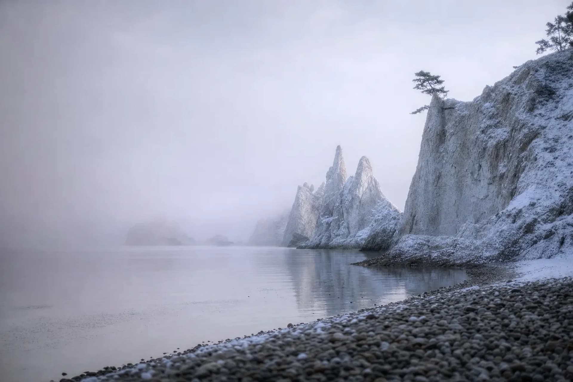
The sea is there, but you don’t see it at first. A pale yamase fog sits low, sliding over pine tops and harbor roofs, blurring the line between land and water. Then the wind shifts. A white rock shore appears, and far north a wall of cliffs stands up from the ocean like a closed book.
This is the Rikuchu coast in summer. Cool air. Quick-changing conditions. A coastline that asks you to plan well, then stay flexible. For the discerning traveler, it offers something increasingly rare: a corner of Japan that rewards patience and discretion rather than crowds — the kind of place that reveals itself only to those who arrive prepared.
What Is The Rikuchu Coast In Iwate, And Why Does The Park Have Two Names?
The Rikuchu coast is a stretch of Iwate’s Sanriku shoreline that was once protected as Rikuchu Kaigan National Park (designated in 1955) and is now part of Sanriku Fukko National Park (created in May 2013).
You still hear both names in conversation, and both carry meaning. “Rikuchu Kaigan” points to the older identity: dramatic coastal scenery and a long tradition of local travel. “Sanriku Fukko” reflects the post-2011 reconstruction focus, with the Ministry of the Environment also naming disaster prevention and passing on tsunami experience as part of the park’s concept.
For a summer trip, the practical takeaway is simple.
This is not a single viewpoint you tick off in one hour. It is a real coast, with real weather, and public transport that can change when conditions turn. Knowing precisely what to see, where, and in which month is exactly the kind of quiet expertise that separates an ordinary visit from a seamless one.
Kitayamazaki In Tanohata: 200-Meter Cliffs And Three Viewpoints
You feel the scale at Kitayamazaki before you reach the edge.
The road quiets. The forest tightens. Then the land stops, and the Pacific opens below you. Official sources describe this northern section as the “Alps of the Ocean,” and at Kitayamazaki the cliffs rise to about 200 meters.
Tanohata Village describes about 8 km of cliff coast here, and the site is set up for visitors who want different angles instead of a single platform. There is a restrained grandeur to it — no manufactured spectacle, only stone, wind, and water, which is precisely the kind of unhurried beauty that cannot be bought or hurried.
The Three Viewpoints (And What They’re Like)
Each viewpoint has a different mood. A small shift in position makes a large change in how the cliffs read.
- Viewpoint No. 1: The highest viewpoint, with step-free access from the car park. This is the cleanest choice if you want the full cliff line without stairs.
- Viewpoint No. 2: Reached by stairs and closer to the rock face. On a clear day, this is where the cliff texture starts to show.
- Viewpoint No. 3: Known as a forest-bathing spot. Less about the “postcard” frame, more about wind in the trees and the sound of the sea below.
There is also an optional descent of 736 steps down toward sea level.
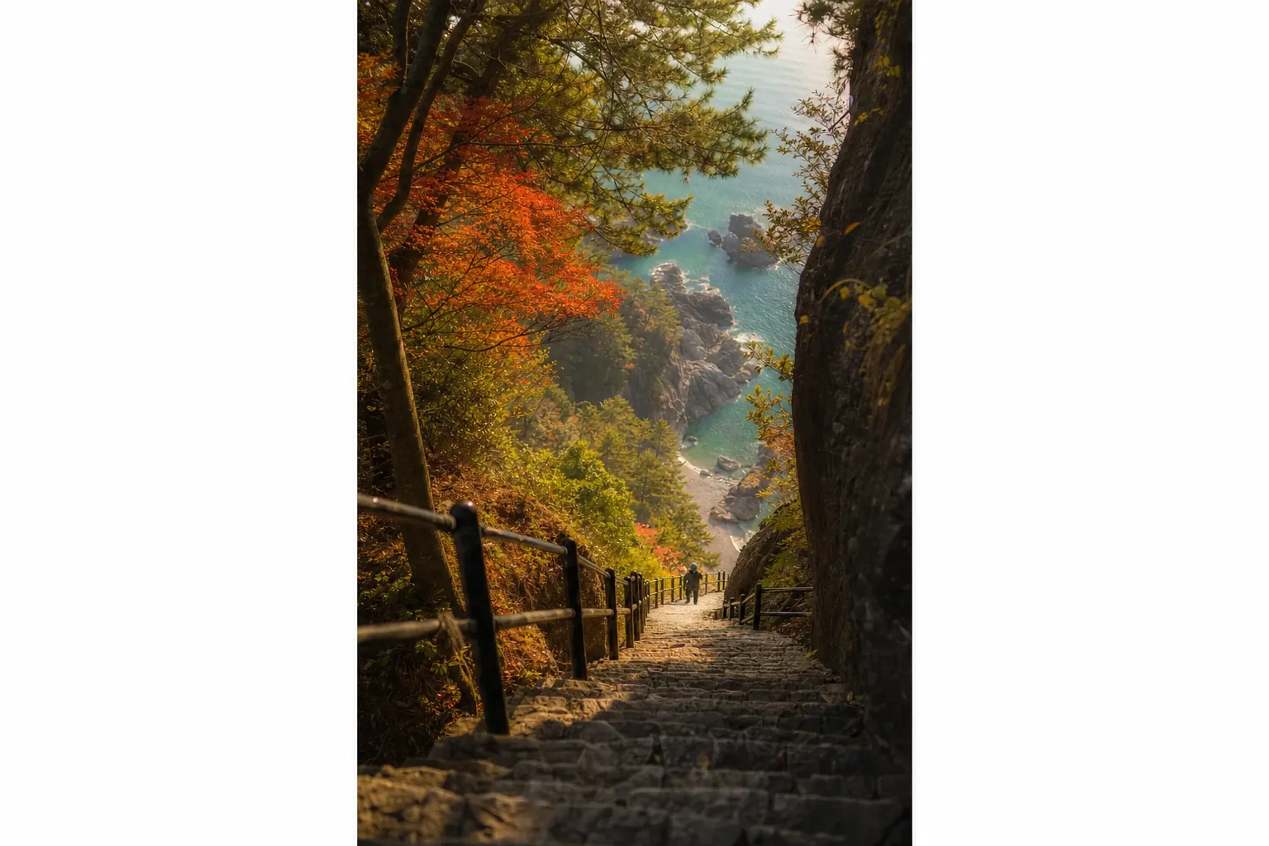
Plan it like a hike. The climb back is the point.
Visitor Center, Rail Access, And The Shared Taxi (Existence Only)
A visitor center stands on site, and the village notes there are no regular closing days. That helps in summer, when you may shift timing around fog or sea conditions.
By rail, Tanohata Station on the Sanriku Railway is the nearest stop. The village also lists a tourist shared taxi connection of about 20 minutes that requires advance phone reservation; treat that as a service to confirm locally before you rely on it. For guests who prefer not to leave timing to a public schedule, a private chauffeur removes that uncertainty entirely, allowing you to move the moment the fog lifts.
Our team at Japan Royal Service often frames Kitayamazaki as a “weather window” stop. You do not force it. You watch the coast, then go when the view opens.
Jodogahama In Miyako: White Rhyolite, Short Walks, And Boat Time
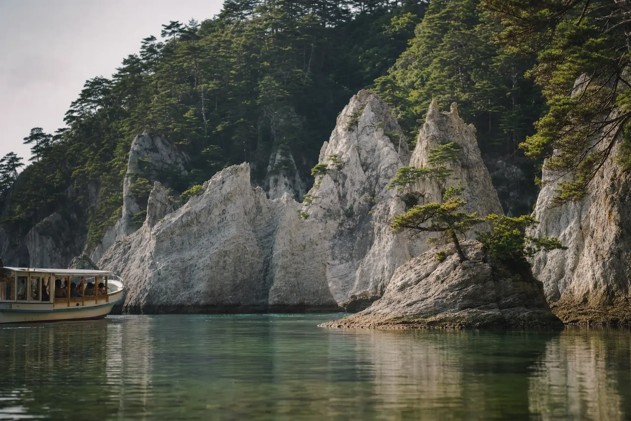
Jodogahama is Miyako’s signature coastal scene: pale rock, dark water, and small pine islands that make the bay feel sheltered even when the wider Pacific looks stern.
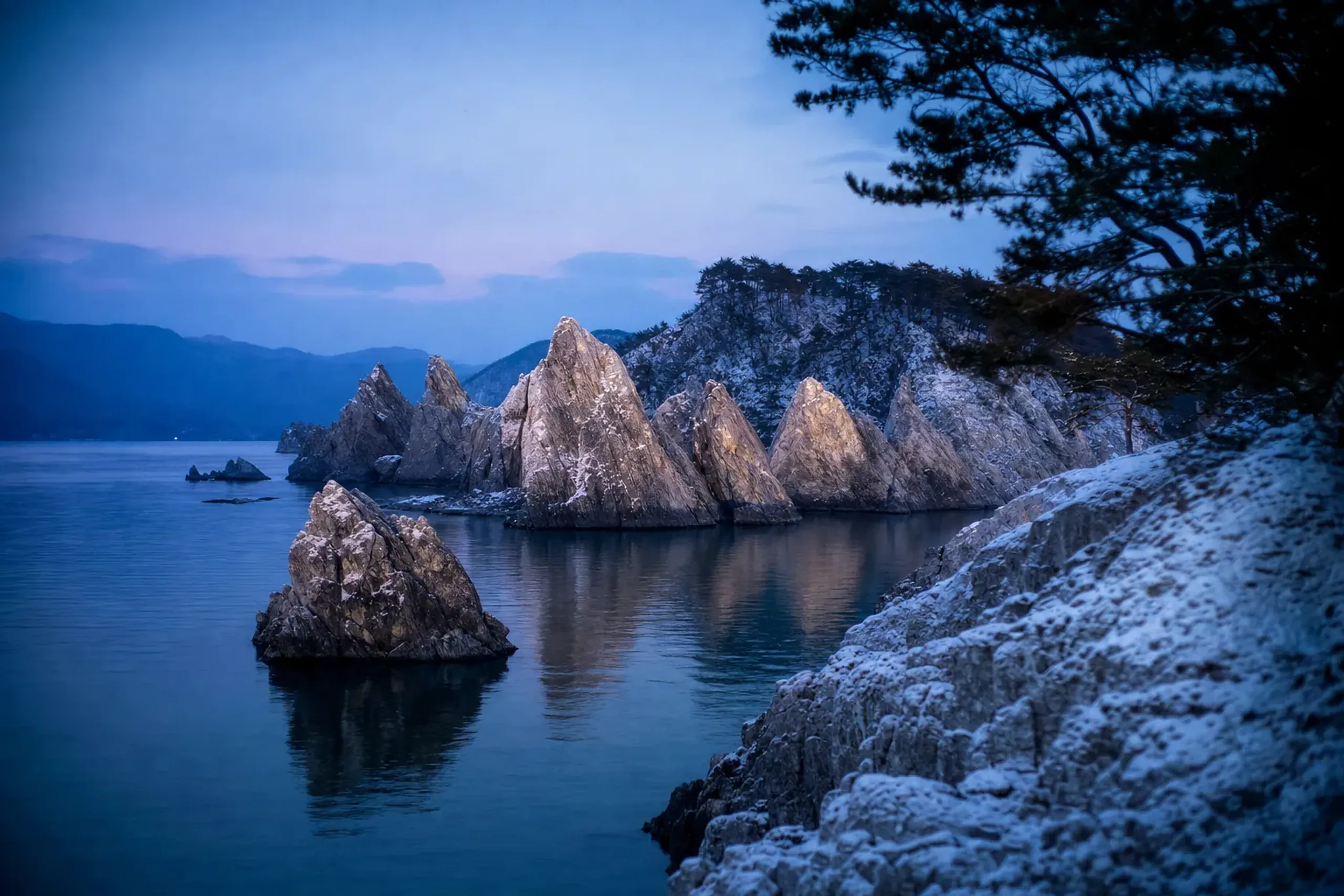
Miyako City describes it as a representative scenic spot at the center of Sanriku Fukko National Park, and also links it to the Sanriku Geopark. The geology is part of the point. The white rock is rhyolite said to be about 44 million years old, with visible flow structure and columnar joints.
The name carries a story too, though it is told as tradition rather than document. It is said to have been named when Reikyo Ryuko, the seventh abbot of Joan-ji, remarked that it resembled the Pure Land in the Tenna era (1681 to 1683). There is a wabi-sabi quiet to the place — the kind of restraint-as-beauty that Japan does better than anywhere else.
How To Reach Jodogahama From Miyako Station
Jodogahama is close enough to feel like “Miyako,” not a separate excursion. Simple.
- By car: Miyako City states it is about 10 minutes by car from Miyako Station.
- By bus: Miyako City also notes a bus from Miyako Station to the Oku-Jodogahama stop takes about 20 minutes.
In summer, one detail matters more than the minutes. Miyako City states that general vehicles are restricted inside the Jodogahama park area from 1 April to 31 October, so you plan around how you will move once you arrive.
Do The Jodogahama And Tanohata Boats Run Every Day In Summer?
No—both areas offer sightseeing boats, but departures depend on season, operating days, and sea conditions, and services can be suspended for bad weather or rough seas.
On the water, you learn fast. A calm bay can turn choppy. A bright morning can flatten into fog. This is why we build coastal days with a “soft edge” on timing, rather than a tight chain of fixed appointments. That quiet anticipation of what the day may require — before you ever ask for it — is the heart of how we work.
Miyako Sightseeing Boat: Umineko Maru (What To Expect)
Miyako City’s sightseeing boat Umineko Maru offers a guided loop around local geosites, with a course described as about 30 minutes. The operator indicates it can be suspended in bad weather or rough seas, and that it is closed on Tuesdays except in July and August.
On published schedules, the first departure is around 9:00, but the end-of-day timing can vary by season. Don’t anchor your plan to the last boat. Use the morning.
Tanohata Cliff Cruise From Shimagoshi Port
Tanohata’s cliff cruise departs from Shimagoshi Port, a roughly 10-minute walk from Shimagoshi Station, and runs a loop of about 50 minutes. For the 2026 season, Tanohata Village information indicated operations from 25 April to 3 November, with extra sailings during peak holiday periods.
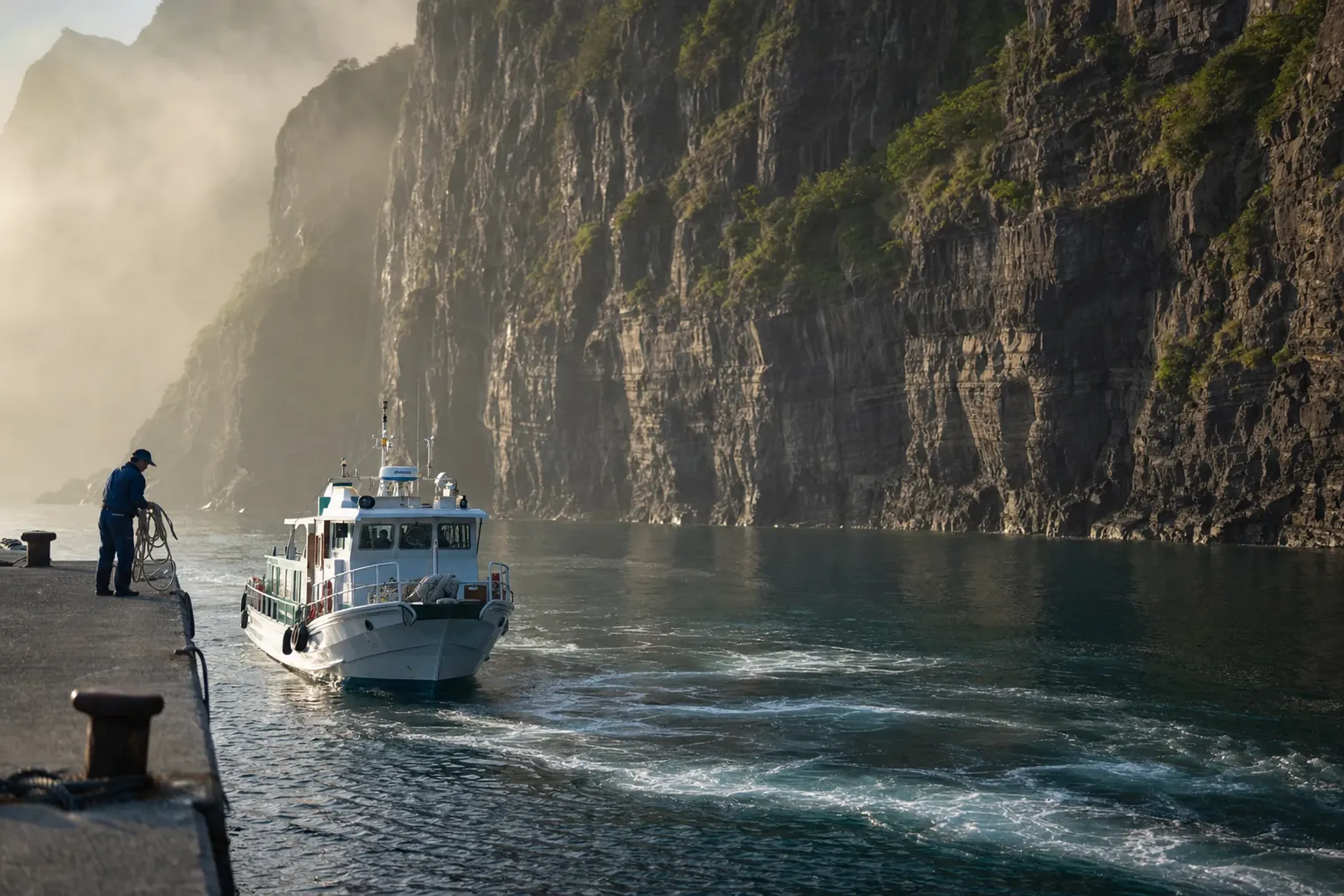
Those dates are published by the operator by season. They are not a promise for next year. We recommend confirming each spring.
Smaller “Sappa” Boats (Existence Only)
Smaller fishermen-run “sappa” boats also operate seasonally around places like Kitayamazaki and Jodogahama. They are part of the coast’s living economy, and availability can be local and weather-led. Treat them as a possibility, not a fixed plan — though a well-placed local introduction can sometimes open doors that no public timetable lists.
Key fact: On the Rikuchu coast, boat plans are “day-of” plans. Always check operating status and sea conditions before you build the rest of the day around a departure.
Jodogahama Swimming Beach: Season Dates, Rules, And What The Cool Summer Feels Like
Summer on the Rikuchu coast is not the “Japan you sweat through.” It can be crisp, even in August, and the sea often looks colder than you expect.
JMA normals for Miyako (1991–2020) put July at a mean of 20.3°C (mean max 24.4°C, mean min 17.4°C) and August at a mean of 22.1°C (mean max 26.3°C, mean min 19.2°C). Fog is part of the pattern too, with JMA statistics showing roughly 11 fog days in July and 5 in August (2007–2020).
That coolness is the appeal. Pack a light layer. Bring shoes that don’t mind wet stone.
Worked Example: The 2026 Jodogahama Beach Season (Confirm Each Spring)
Miyako City opened Jodogahama swimming beach from Saturday 4 July to Sunday 30 August 2026, with hours 8:30 to 17:00, operating daily from 18 July to 16 August and weekends/holidays only in the periods on either side.
Those dates are a useful template for how short the season can be, even in mid-summer Japan. They are also exactly the kind of detail that changes year to year, so we advise checking the city’s notice each spring.
Beach Rules That Matter (Miyako City)
The rules are not decorative. They are enforced.
- No fires or barbecues
- No diving from rocks
- Take rubbish home
- Lifeguards may approach visitors as needed
For general safety in Japan, Coast Guard guidance for rip currents is consistent: stay within the lifeguarded area, swim parallel to escape a rip current, and leave the water if you are stung by jellyfish.
Sanriku Railway Rias Line In Summer: Scenic, Practical, And Weather-Dependent
A small train can carry a lot of atmosphere.
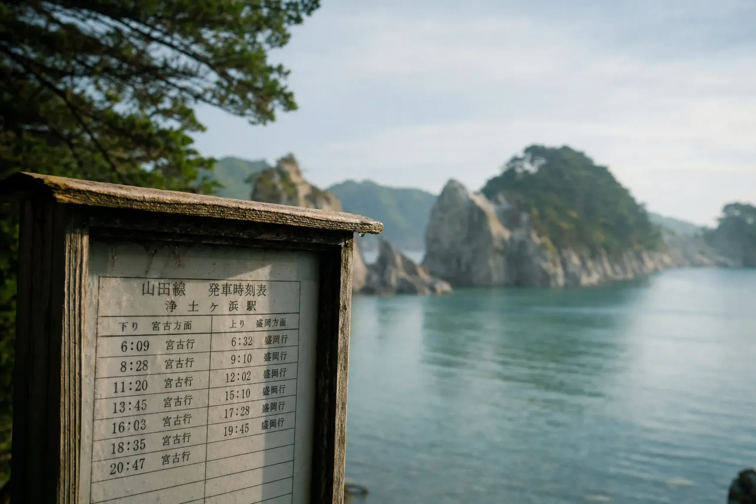
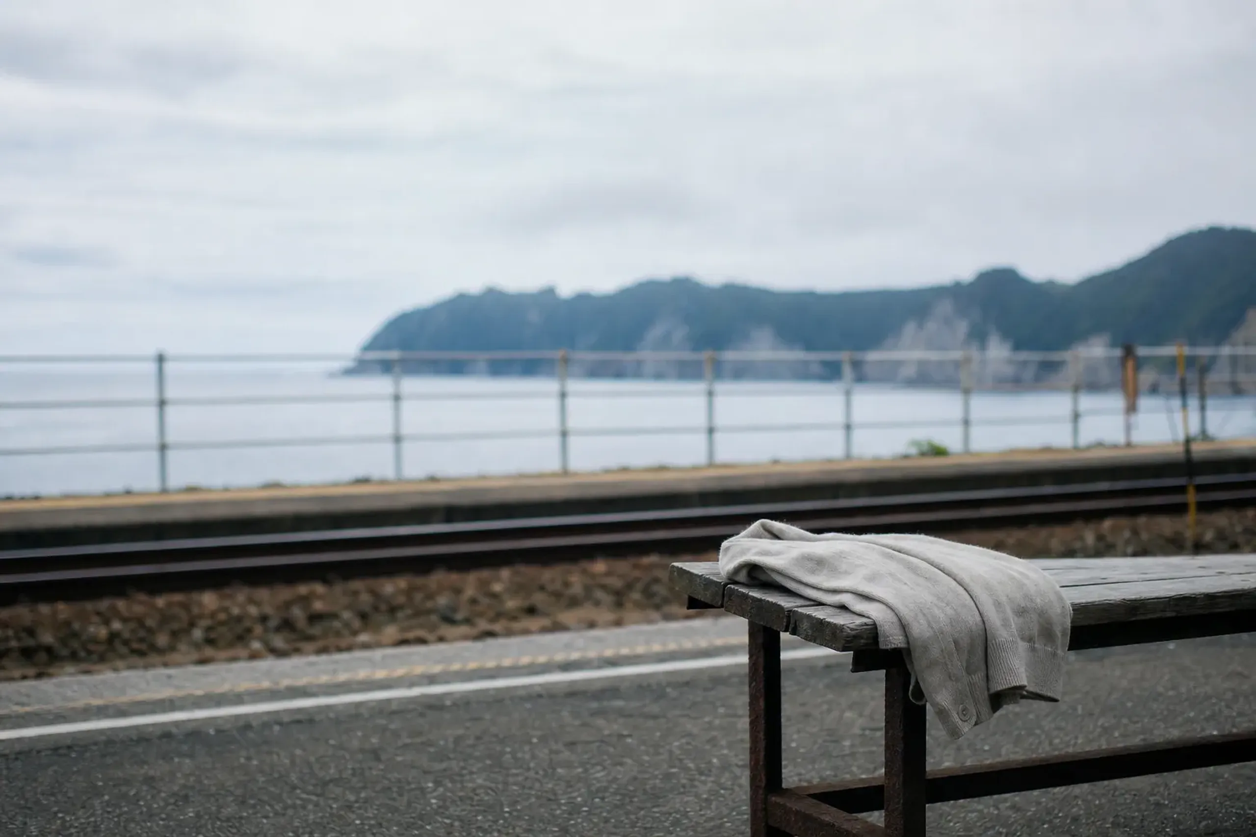
The Sanriku Railway runs the Rias Line along the coast between Sakari and Kuji, with a published distance of 163 km. The company revised its timetable on 14 March 2026, including the addition of one rapid train between Miyako and Iwate-Funakoshi. Services can also be suspended after heavy rain, and the operator has posted suspension notices in past seasons.
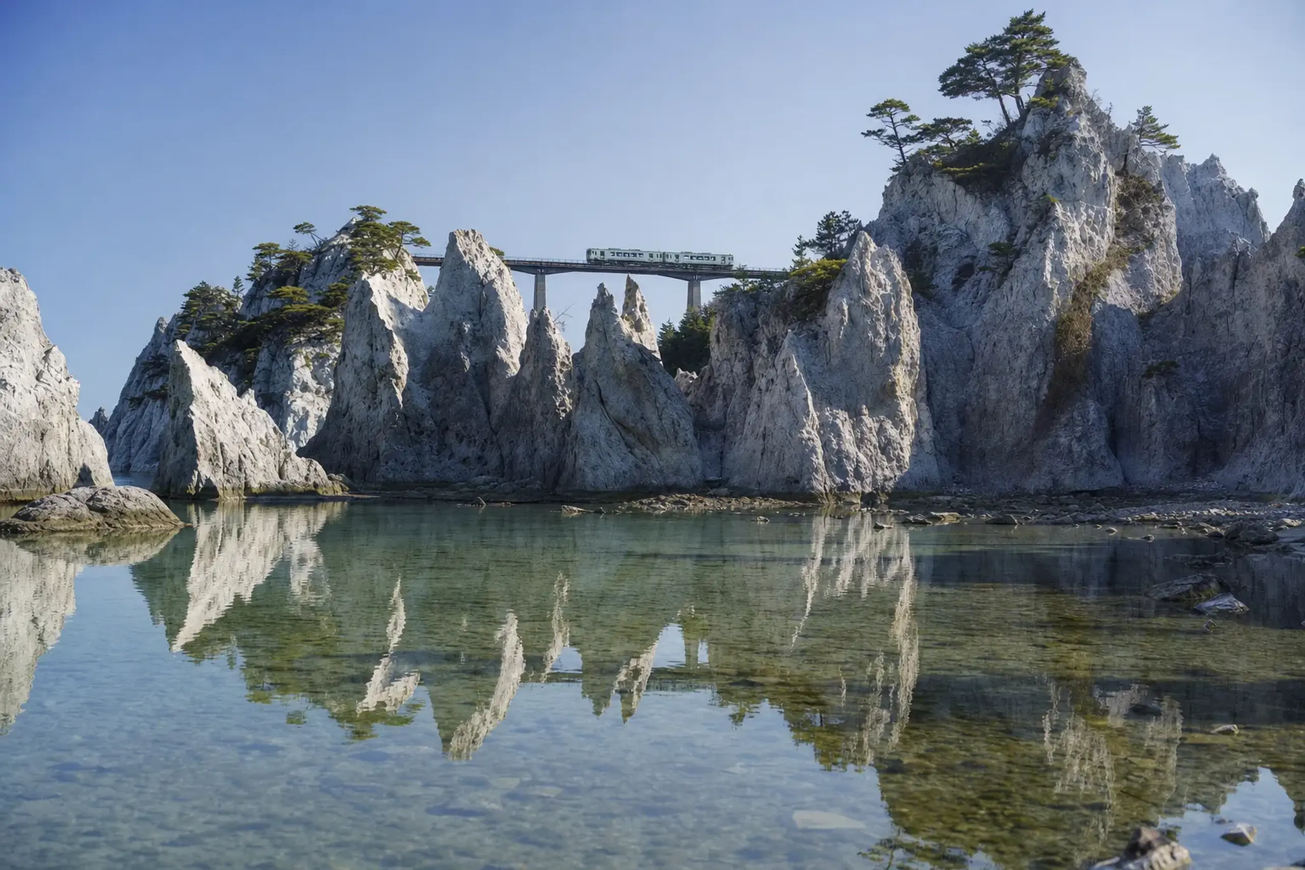
This is the honest planning mindset: rail is wonderful when it runs, and you still need a backup when it doesn’t. The most elegant itineraries are the ones built so quietly that you never notice the contingency working in the background.
One Line On The Michinoku Coastal Trail
Many sections of the Michinoku Coastal Trail track close to this coast and the rail line, and it was fully opened on 9 June 2019; even a short walk can make the landscape feel slower and more personal.
Tsunami Guidance And Memorial Etiquette On The Sanriku Coast
If you feel strong shaking, or long and slow shaking, move immediately to higher ground or to a tsunami refuge building—do not wait for the sea to recede, and do not return while a warning is active.
That guidance comes from the Japan Meteorological Agency. It is written for visitors as much as residents, and it is worth reading before you arrive, not after an alert. Another key point is simple: know more than one evacuation site, because your first route may be blocked.
Sites And Programs To Understand Local Memory (Plain Respect)
Along this coast, remembrance is not hidden. It is handled directly, with rules that protect both the sites and the people who come to learn.
- Taro (Miyako): A tsunami-ruin hotel and the sea wall are covered by Miyako’s guided Manabu Bosai program. Public opening details can be limited and date-specific, so do not assume walk-in access.
- Akado Sea Wall (Tanohata): Preserved remains are kept as they were. Visiting rules were not confirmed in our source set, so treat the area with quiet restraint and follow local signage on arrival.
- Iwate Tsunami Memorial Museum (Rikuzentakata): This museum is outside the Rikuchu coast area, but it is an official place for context. Published rules include no photography or recording in theaters or exhibition rooms, no flash or tripods, no touching, and no phone calls, eating, or drinking in exhibition rooms.
We suggest one small habit.
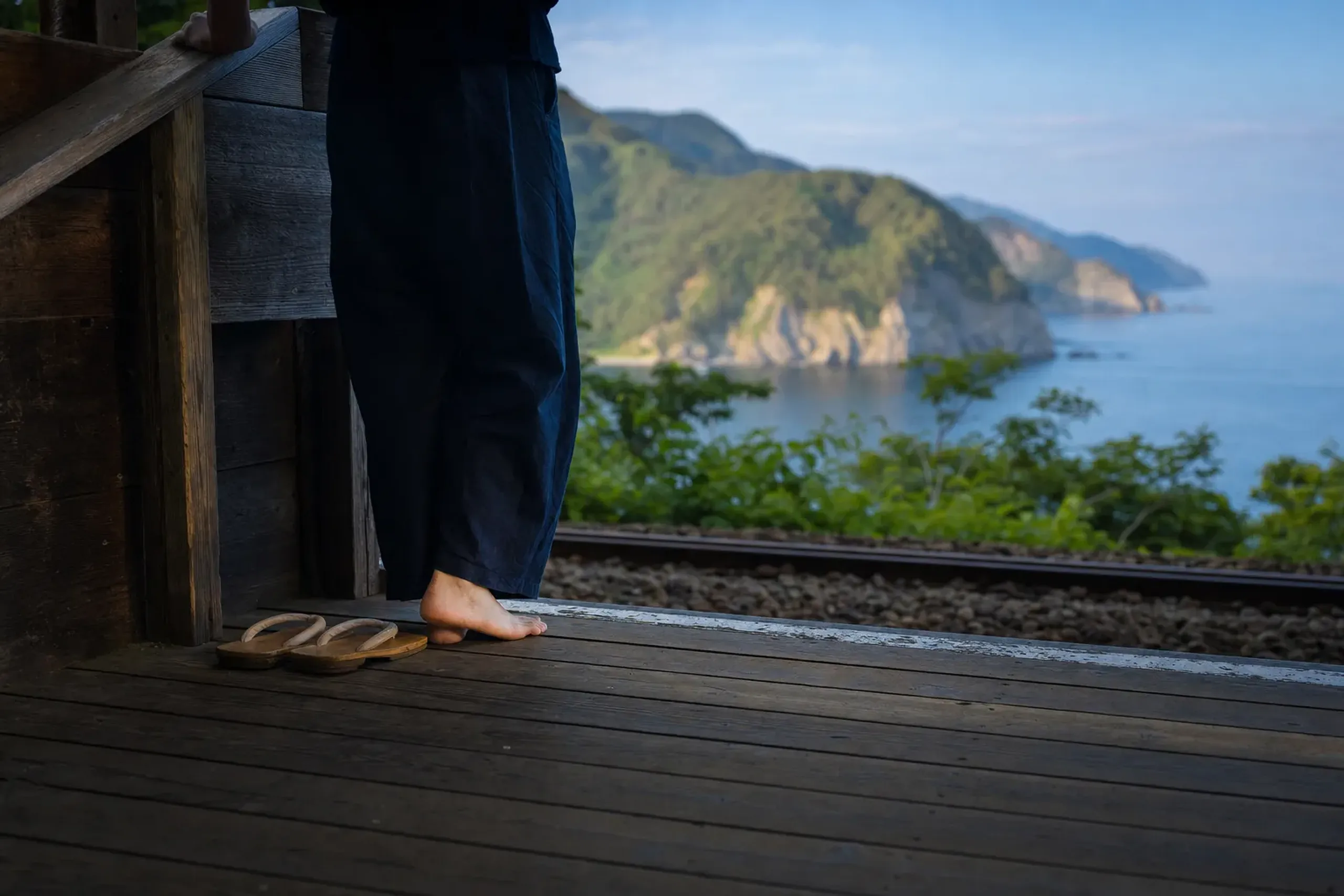
Before you step onto any memorial site, put your phone away. Two minutes. Let the place set the tone.
How Do You Get To Jodogahama And Kitayamazaki From Morioka?
From Morioka, plan on about two hours by road to reach the Miyako side of the coast, then add time for coastal stops and weather flexibility.
Miyako City states that Jodogahama is about 120 minutes by car from the Morioka side. In practice, that “about” matters. Fog can slow you. Summer traffic can bunch up near beach hours. A quick lunch stop can turn into a longer one if you catch a clear spell and decide to stay on the rocks.
Public transport is possible, and many travelers combine modes.
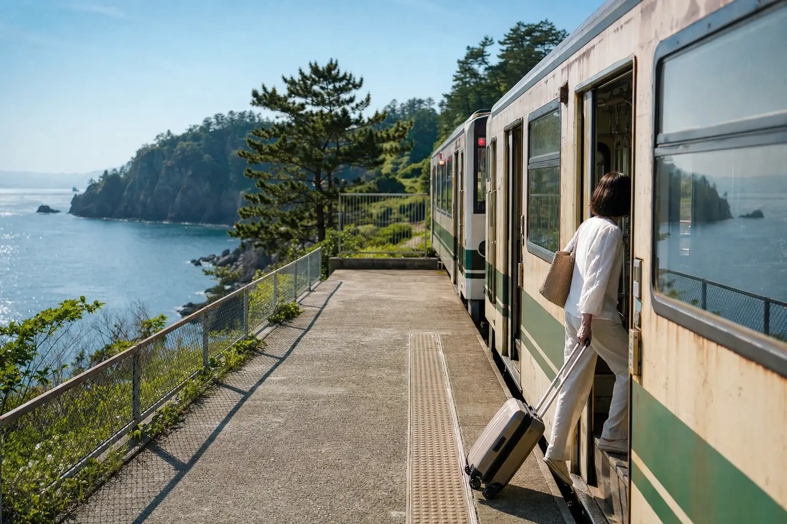
One reliable pattern is: rail or bus to Miyako, then local transport for Jodogahama, and the Sanriku Railway for a scenic segment when schedules line up. Exact times vary by timetable, so check the operators close to travel — or let a carefully designed bespoke itinerary absorb that complexity for you, so the only thing you track is the changing light on the cliffs.
How Our Concierge Team Plans A Summer Rikuchu Coast Day
On this coast, good planning looks like humility.
At Japan Royal Service, our concierge team builds the day around the things you cannot control: yamase fog, sea state, and operational notices from the boats and railway. We typically hold a flexible hour on either side of key moments, because the best cliff view might arrive at 10:40, not 10:00. Behind that flexibility sits a quieter promise — complete discretion over where you go, whom you meet, and how your days unfold, which is the one thing our guests value most.
This is the Japan that rarely appears on an itinerary at all: a cool, fog-washed coast of 200-meter cliffs and 44-million-year-old white rock, reached not through crowds but through careful timing and local introductions. If you would like us to shape a summer on the Rikuchu coast around your pace and your privacy, contact us here and we will prepare a tailored proposal.