In this guide
- 01What the Venus Line Is
- 02Tateshina and Lake Shirakaba
- 03Kirigamine and Kurumayama in July, and Yashima Marsh
- 04Utsukushigahara and the Open-Air Museum
- 05The Summer: Cool Air, Fog and the Busy Months
- 06Getting There, and Why a Car With a Driver Fits
- 07How the Concierge Team Plans the Drive
- 08Elsewhere in Nagano
- 09Frequently Asked Questions
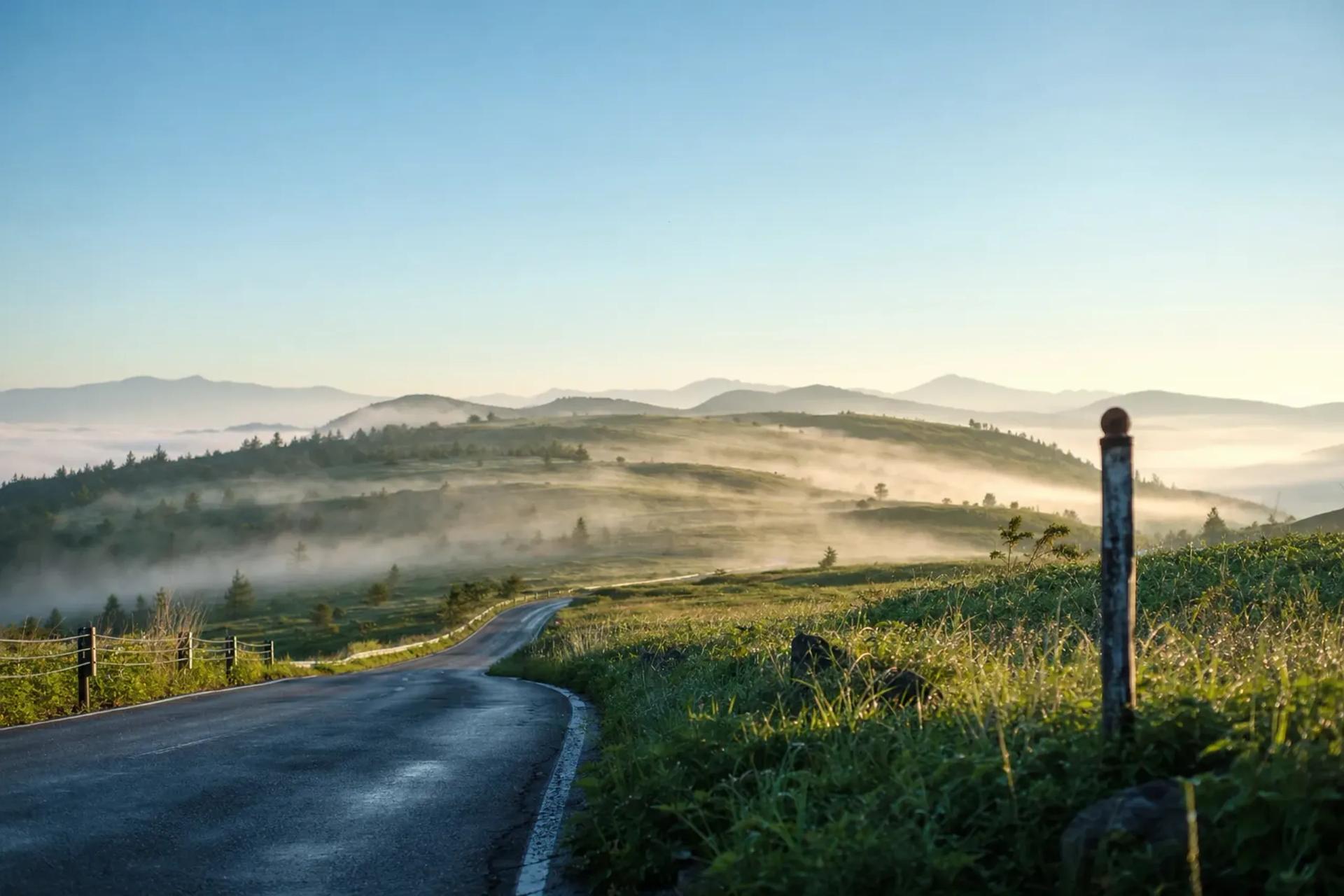
You leave the valley in the morning, while Chino and the edge of Lake Suwa are already warm and the fields are holding the heat. At the Gozaishi Shrine intersection the road turns and begins to climb. Curve follows curve. The houses thin out, the trees close in, and somewhere past the first long bend the air through the window changes. It is cooler, and it smells of grass.
This is the Venus Line, a highland road through central Nagano that asks to be driven slowly. It doesn't race between towns. It wanders across open plateaus, past two lakes and a marsh protected as a national natural monument, up a slope that turns yellow in July, and through a field where more than 250 sculptures stand in the grass. It is also a road where fog forms easily, cars pile up in high summer, and part of the route closes in winter. A good day here needs timing, and a second plan in your pocket.
What the Venus Line Is
According to Go NAGANO, Nagano Prefecture's tourism site, the Venus Line runs for about 75 km from Chino City to the Utsukushigahara Plateau. It is paved and free to use. The start is about 10 minutes from Suwa IC. Go NAGANO puts the drive at about 90 minutes without stops, measured from the Gozaishi Shrine intersection. With stops, a day on the road takes far longer, and that is the point of coming.
The road passes through four areas:
- Tateshina, at the southern end, around Lake Tateshina
- Shirakaba, the area of Lake Shirakaba and the Megami Lake area
- Kirigamine and Kurumayama, the open moorland in the middle
- Utsukushigahara, the plateau at the northern end
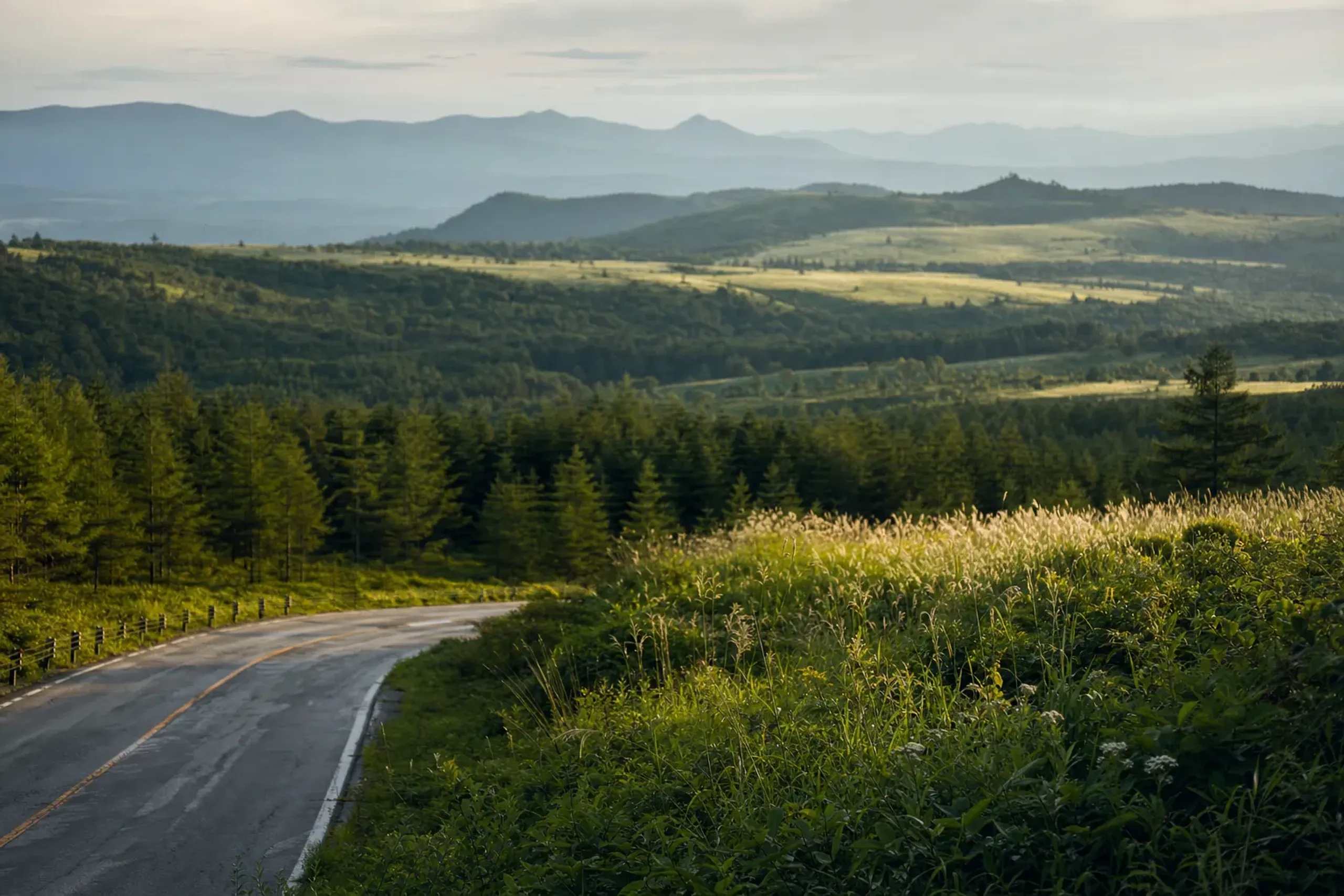
The plateau region sits at about 1,400 m on average, and the road climbs to about 2,000 m at Utsukushigahara. Go NAGANO describes the road as open and winding, with many steep curves on the Matsumoto and Ueda side. Expect to take a lot of bends, and to want to pull over at almost every wide turnout where the view opens up.
Tateshina and Lake Shirakaba
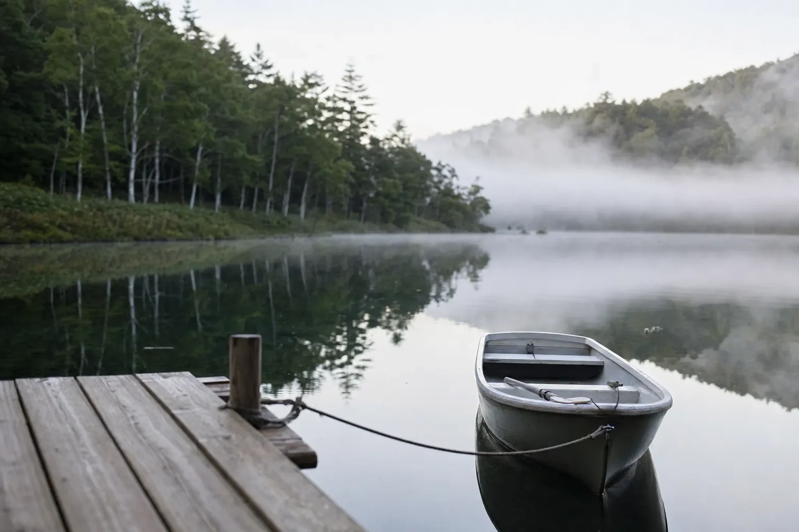
Lake Tateshina sits at the southern end of the line, ringed by forest. A roadside station with an observation deck stands at the lake entrance. It makes a natural first pause after the climb out of the valley: step out, look across the water, and look north toward the country still ahead.
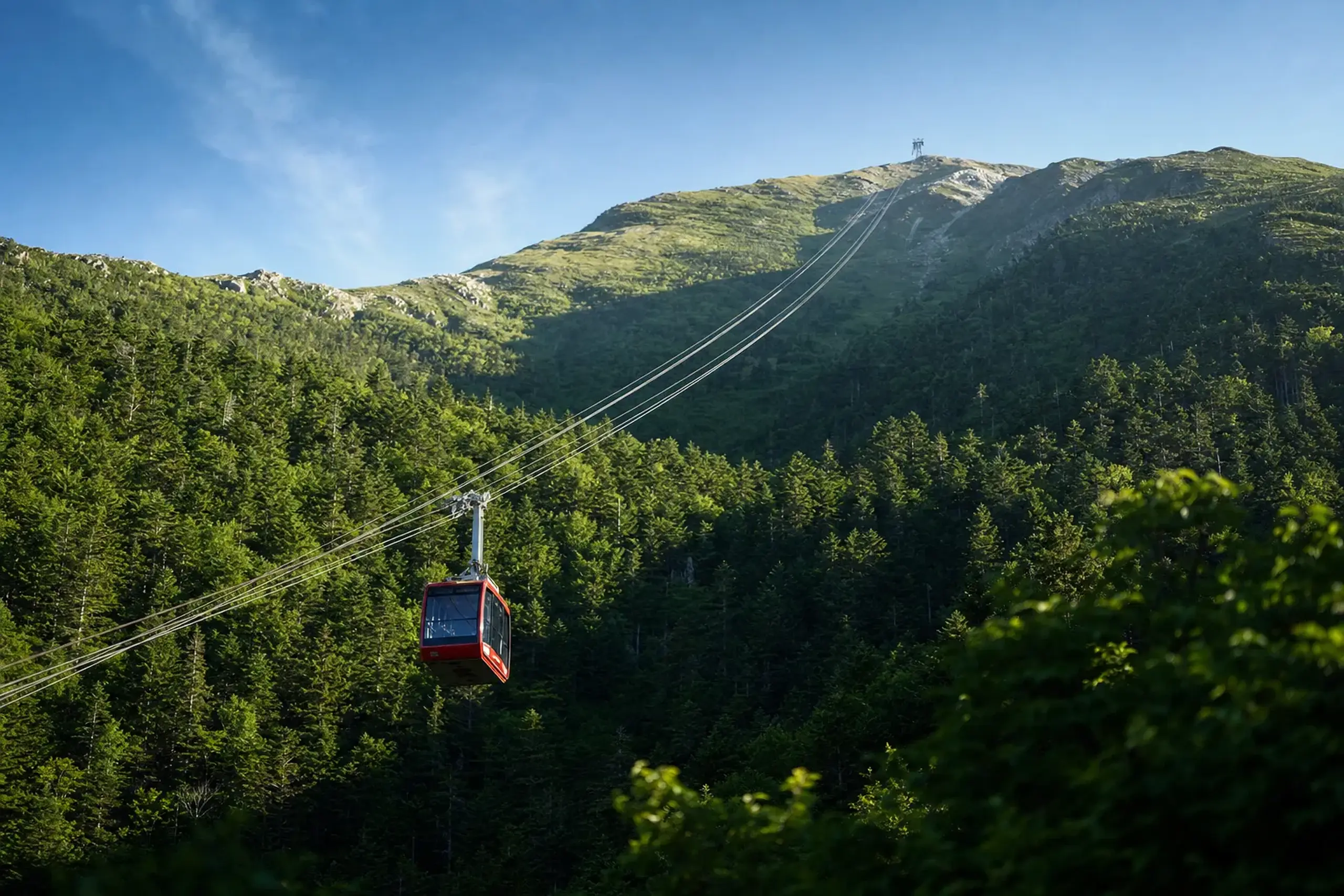
Near Tateshina, a ropeway climbs from 1,771 m to 2,237 m in about 7 minutes, lifting you out of the forest onto the open slopes above. Go NAGANO says the gondola usually runs from May to the end of October. Whether it is running on your day is something the JRS concierge team confirms directly with the guest at time of arrangement.
Further on, near the midpoint of the route, Lake Shirakaba opens out. It began as an agricultural reservoir, and today a loop of about 4 km circles the shore. In summer the light on the water and the green of the shoreline make it an easy place to slow down. A walk along part of the shore or an unhurried lunch fits well here, before the road climbs again toward the moors.
Kirigamine and Kurumayama in July, and Yashima Marsh
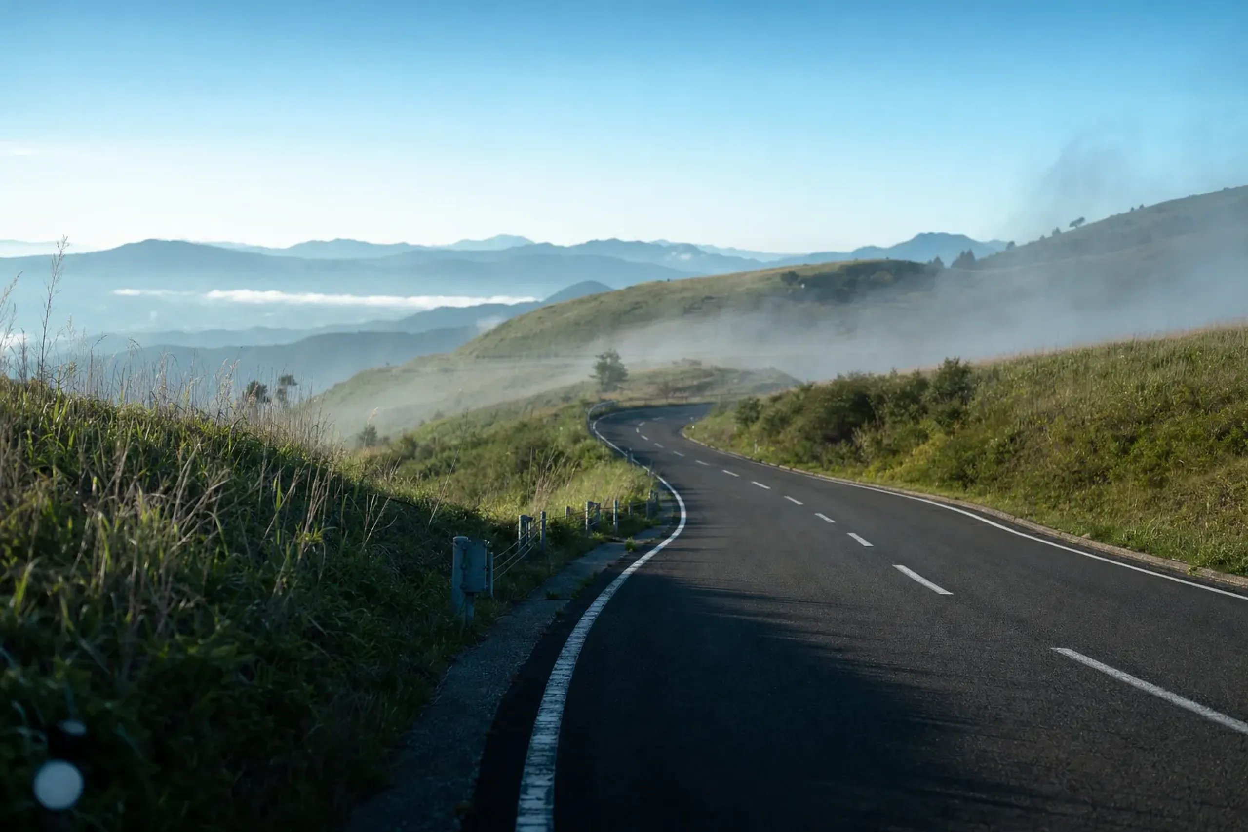
Past Shirakaba the trees fall away and the land opens into wide, rolling grass. This is Kirigamine. The rounded peak above it is Kurumayama, at 1,925 m. Go NAGANO notes that fog forms easily at Kirigamine all year. You can drive in under sunshine and leave in cloud, or the other way round, within the same hour.
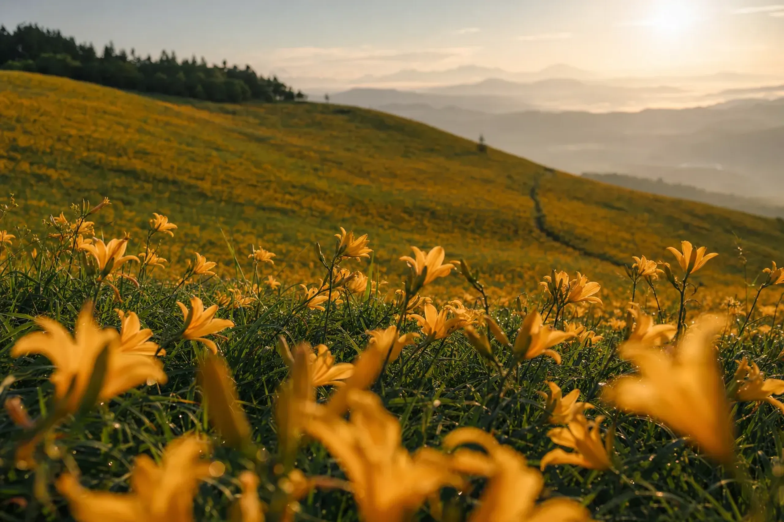
In July the slopes change colour. The Nikko daylily, known in Japanese as Nikko kisuge, is in full bloom from early to late July, and the green hillsides fill with yellow. Before that, rhododendrons flower from early June to mid-July. Go NAGANO counts about 600 alpine plant species in the area, and the high moors are a national natural monument. Bloom timing shifts with each year's weather, and the JRS concierge team confirms directly with the guest at time of arrangement how the season is running.
A short way on, Yashima Marsh lies at 1,630 m. It covers about 43 ha and is also a national natural monument. After the open slopes of Kurumayama, it feels different: a broad, flat wetland held in a bowl of grass, where the sound of the road drops away.
The Yashima Kogen parking lot is also worth remembering for practical reasons. The section of road from here to Wada Pass is the part that closes in winter.
Utsukushigahara and the Open-Air Museum
The last stretch climbs again, and the road reaches about 2,000 m at the Utsukushigahara Plateau, a broad upland of about 600 ha. Go NAGANO notes that about 200 cattle graze on the plateau from late May to mid-October, behind a fence.
Here the Utsukushigahara Open-Air Museum spreads across the grass. It opened in June 1981, and by the museum's own count it displays more than 250 sculptures on the plateau at about 2,000 m. The car park is free. The setting does much of the work: stone, steel and bronze against open sky, with the view changing as cloud moves across the plateau. When fog rolls in, the nearer pieces seem to come and go in the grey, and a familiar sculpture can look like something new.
The museum is open roughly from late April to early November. Its season and hours for your visit are something the JRS concierge team confirms directly with the guest at time of arrangement. A roadside station near the museum gives one last stop at the northern end at the Utsukushigahara Plateau before you head down.
The Summer: Cool Air, Fog and the Busy Months
Go NAGANO describes the route as "cool even in midsummer" and suggests packing an extra layer compared with the foot of the mountain. You feel the difference as soon as you step out of the car.
For a sense of what you are leaving behind, here are the Japan Meteorological Agency's 1991 to 2020 normals for August at Matsumoto. Matsumoto is a valley station, well below the plateau:
- Mean temperature: 25.1 °C
- Mean daily maximum: 31.4 °C
- Mean daily minimum: 20.5 °C
- Rainfall: 101.6 mm, with 8.6 days of 1.0 mm or more
These are valley figures, not plateau figures. Read them as the warm starting point, not a forecast for the road.
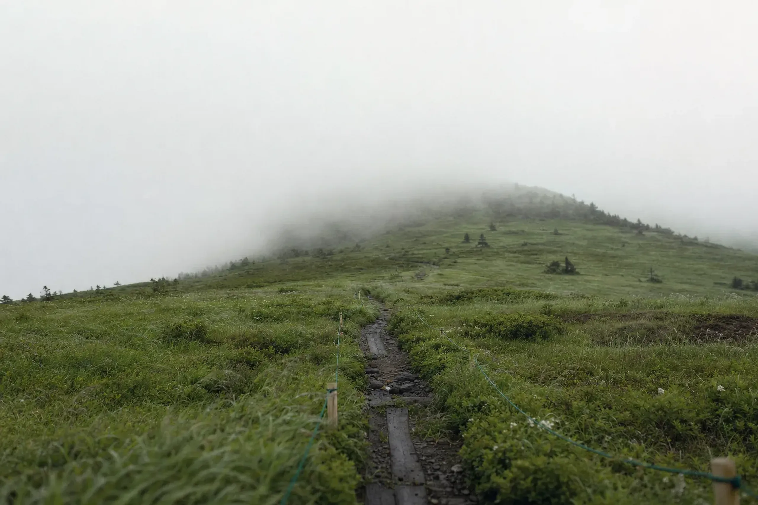
Fog is the other summer companion. Go NAGANO advises carrying rain gear in case the weather changes suddenly, and checking the road's official site for the latest closures. A clear morning on the moors can turn into a white afternoon, so it helps to hold the open views loosely and to know in advance what you will do if they disappear.
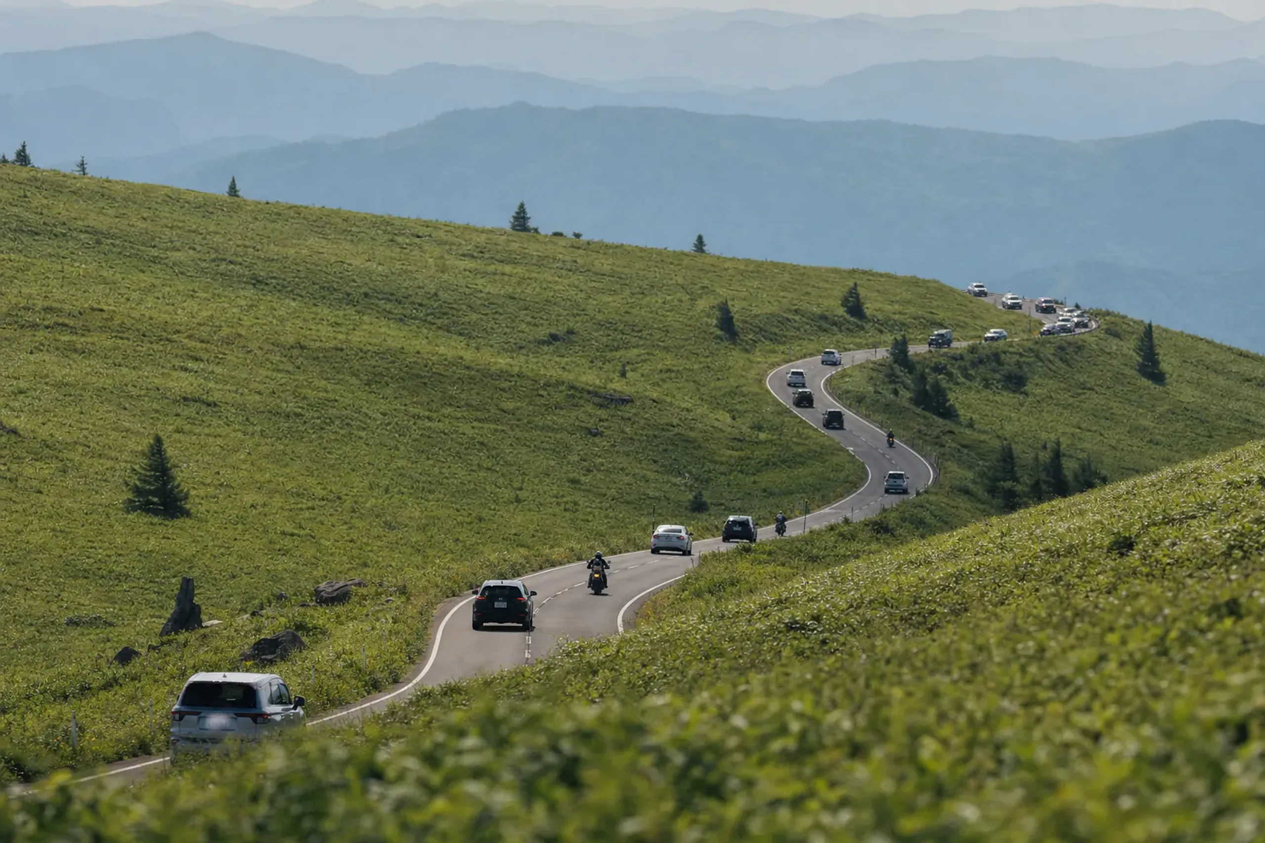
Then there are the crowds. Go NAGANO says the road is "especially crowded in July and August," and recommends June or September for a quieter drive. July is also daylily month, so the flowers and the traffic come together. If the bloom is why you are coming, an early start helps. If a calmer road matters more, consider June, when the rhododendrons are out, or September.
The road isn't open all year. Go NAGANO and the Suwa Construction Office say the section from the Yashima Kogen parking lot to Wada Pass typically closes from mid-to-late November to mid-to-late April. The road office posts the exact dates each year, and they move with the snowfall. For travel near either end of that window, the JRS concierge team confirms directly with the guest at time of arrangement.
Getting There, and Why a Car With a Driver Fits
By road, the start of the Venus Line is about 10 minutes from Suwa IC. At the other end, Matsumoto IC and Tobu Yunomaru IC are each about 70 minutes from the Utsukushigahara museum area. That makes a one-way drive easy to picture: in from the Suwa side, out toward Matsumoto, with no need to double back.
By rail, the usual approach is a train to Matsumoto, Chino or Suwa. Train times and connections are something the JRS concierge team confirms directly with the guest at time of arrangement.
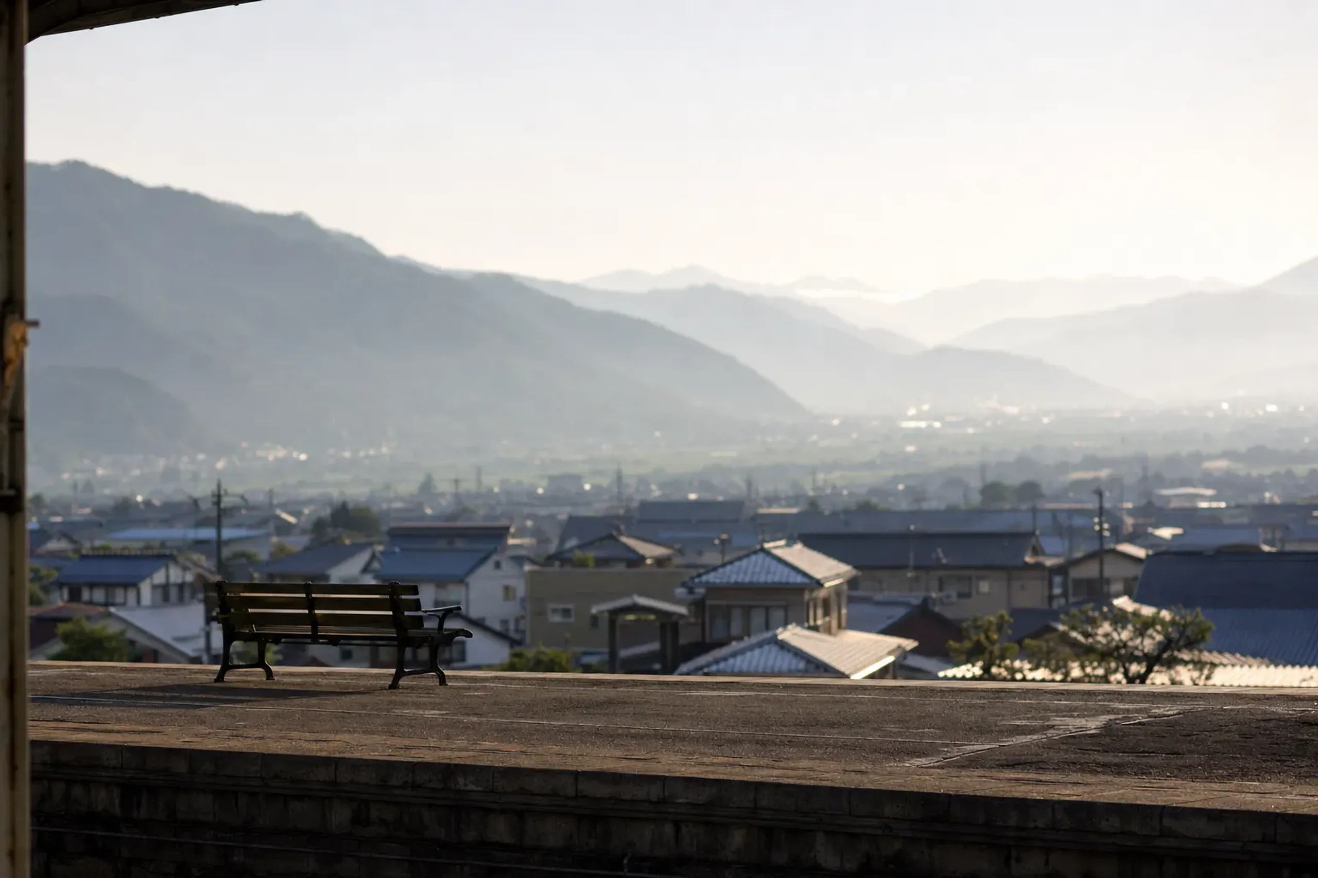
Public transport on the road itself is limited. A local bus runs from Chino Station on the Chuo Main Line to Lake Shirakaba in about 50 minutes, which covers the southern part of the route. Go NAGANO lists no bus along the Kirigamine to Utsukushigahara stretch.
That is why a car with a driver suits this road. The curves are many and steep on the northern side, fog can come in fast, and the reason to be here is to stop often: at a lake, on a flower slope, at a marsh, in a sculpture field. With a vehicle from a partner company and an English-speaking driver, the person behind the wheel watches the road while you watch the view. You can also go one way and finish at a hotel in a different town from the one you started in.
How the Concierge Team Plans the Drive
Within this road and its approaches, the JRS concierge team arranges:
- Planning. The day is built around the road, the fog, the weather and the crowds: which direction to drive, where to stop and when, and a fallback plan if cloud closes the views on the moors or the plateau.
- Guiding. An English-speaking cultural interpreter guide for the museum's sculpture park and the history of the region, booked separately from the driver. Mountain guiding is not offered on this route.
- Private transfer. A vehicle from a partner company with an English-speaking driver. JRS does not own the vehicles, and the driver and the guide are separate roles.
- Accommodation and meals. Ryokan and restaurant bookings in the Matsumoto, Suwa or Tateshina area, with dietary needs passed on ahead.
- Rail. Tickets, including Green Car where available, platform assistance, and luggage forwarding, so bags can go ahead while you travel light on the road.
- Same-day re-planning when the weather changes.
Road status, the museum's season and whether the ropeway is running are things the JRS concierge team confirms directly with the guest at time of arrangement.
Every stop on the Venus Line is open to the public.
The drive fits into one full day. Spread across two days, with a night in the Tateshina or Suwa area, the moors can get the morning light and the plateau the afternoon.
Elsewhere in Nagano
- Matsumoto, about 70 minutes from the museum area, is a natural place to start or finish the drive.
- Suwa sits at the southern start of the road, beside Lake Suwa.
- Karuizawa, further east in the prefecture, is another summer highland escape with its own guide in the Journal.
For more of Nagano in summer, see Hakuba's Happo Pond and Tsugaike. Earlier in the year, see Zenko-ji in spring and Takato Castle Ruins Park in spring.
Frequently Asked Questions
How long does the Venus Line drive take?
Go NAGANO puts the roughly 75 km drive at about 90 minutes without stops. With stops at the lakes, the moors, Yashima Marsh and the open-air museum, plan on a full day, or split it across two.
When do the day lilies bloom at Kirigamine?
The Nikko daylily is in full bloom from early to late July. Rhododendrons flower before that, from early June to mid-July. Timing shifts with the year's weather, and the JRS concierge team confirms directly with the guest at time of arrangement.
Is the Venus Line open all year?
No. The section from the Yashima Kogen parking lot to Wada Pass typically closes from mid-to-late November to mid-to-late April. The road office posts the exact dates each year.
How crowded is the road in July and August?
Go NAGANO says the road is especially crowded in July and August, and recommends June or September for a quieter drive.
Can you reach the Venus Line by bus?
Partly. A local bus runs from Chino Station to Lake Shirakaba in about 50 minutes. Go NAGANO lists no bus along the Kirigamine to Utsukushigahara stretch, so a car with a driver is the practical way to drive the whole road.
To begin planning, contact our team here.