In this guide
- 01The Island At A Glance: World Heritage, Peaks, And Scale
- 02The Rain, Honestly: What Summer Feels Like On Yakushima
- 03How Long Is The Jomon Sugi Trek From Arakawa Trailhead In Summer?
- 04Can You Drive A Rental Car To The Arakawa Trailhead In Summer?
- 05The Jomon Sugi Route: What The Day Actually Looks Like
- 06Shiratani Unsuikyo And Yakusugi Land: The Gentler Summer Day
- 07Waterfalls And Sea Turtle Beaches: Summer’s Other Pilgrimages
- 08Typhoon Season In Southern Kyushu: What 2026 Showed
- 09Getting To Yakushima In Summer (Flights, Ferries, And The Reality Of Cancellations)
- 10Getting Around The Island: Why A Car Plan Still Matters
- 11How Our Concierge Team Plans Yakushima Summer Days (Without Pretending Weather Obeys)
First light on Yakushima has a particular sound. Not birds. Water.
You step onto the old forestry tram track on the Jomon Sugi route, and the island feels awake before you are. The cedar boards are dark with last night’s rain. Your breath turns sweet with resin and wet leaf.
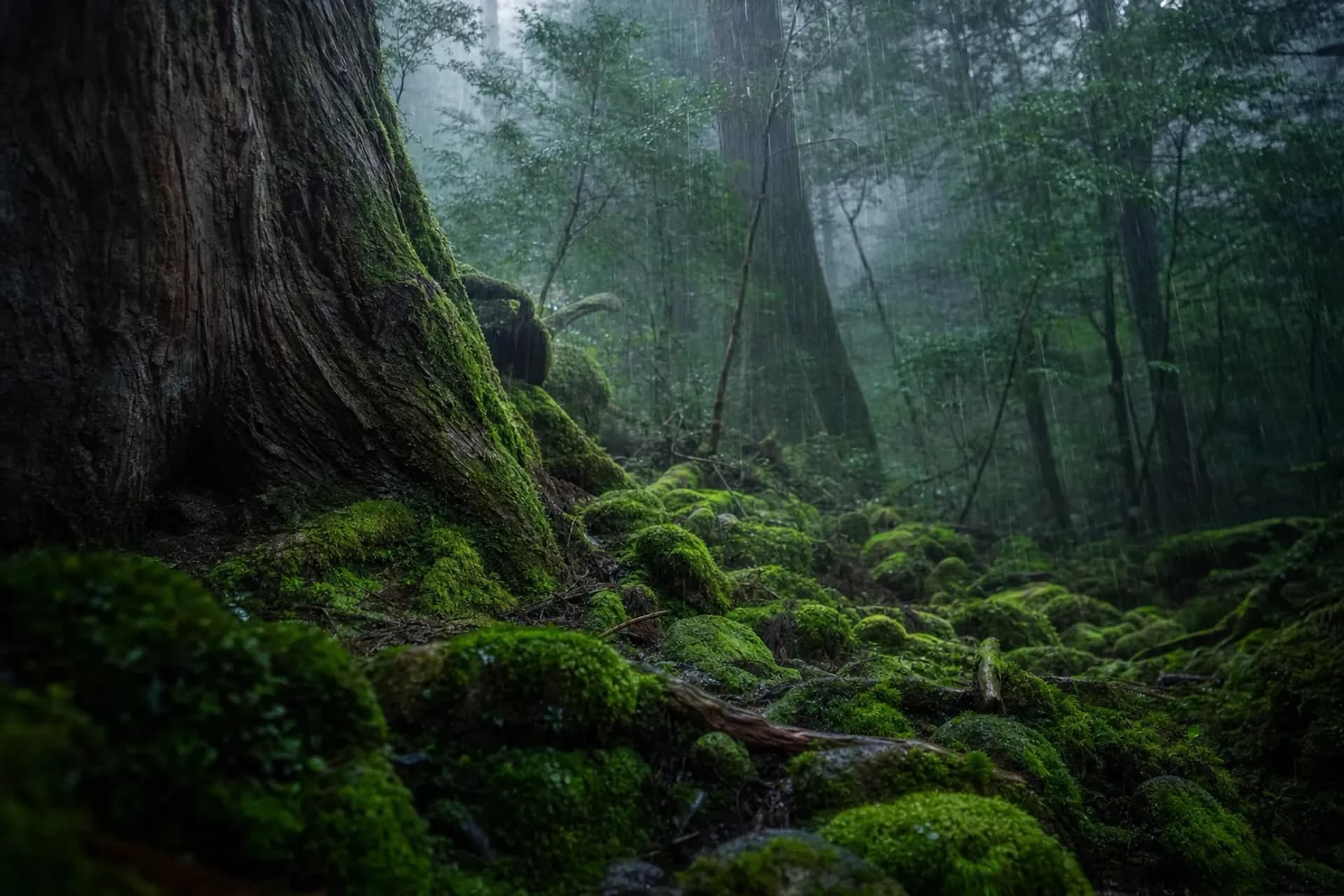
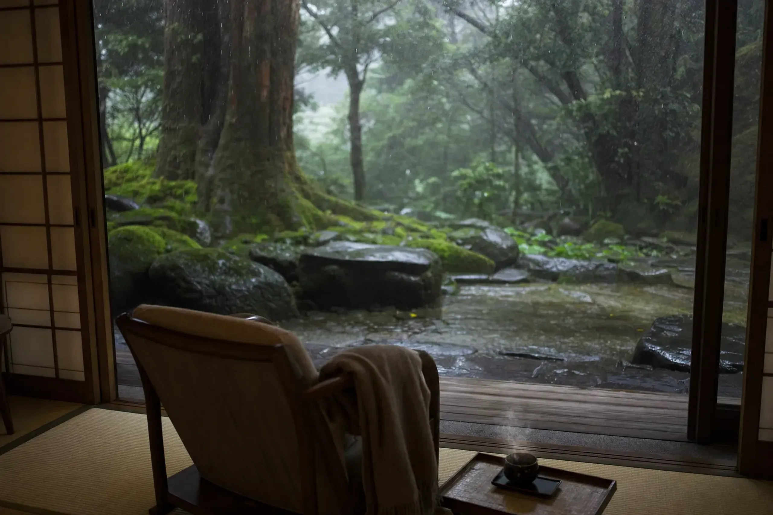
This is the thing most guides miss. The rain is not a side note. It is the whole reason the forest looks like this—the slow alchemy that coats ancient granite and older cedar in that luminous, cushioned green.
This summer guide is built for reality: long trail hours, early buses, sudden closures, and ferry decisions made close to departure. Plan it well, and Yakushima gives you a day that stays in the body for years—a stretch of wabi-sabi stillness, moss-covered stone silence, that no amount of money can manufacture on demand.
The Island At A Glance: World Heritage, Peaks, And Scale
Yakushima is a UNESCO Natural World Heritage site (listed on 11 December 1993) and a mountain island where the highest point, Miyanoura-dake, rises to 1,936 meters.
It sits about 60 km south of Kyushu. Small on a map. Serious in weather.
Yakushima National Park became a separate national park in March 2012, and it covers 20,989 hectares—about 42% of the island. The island’s circumference is about 132 km, with an area of about 500 km².
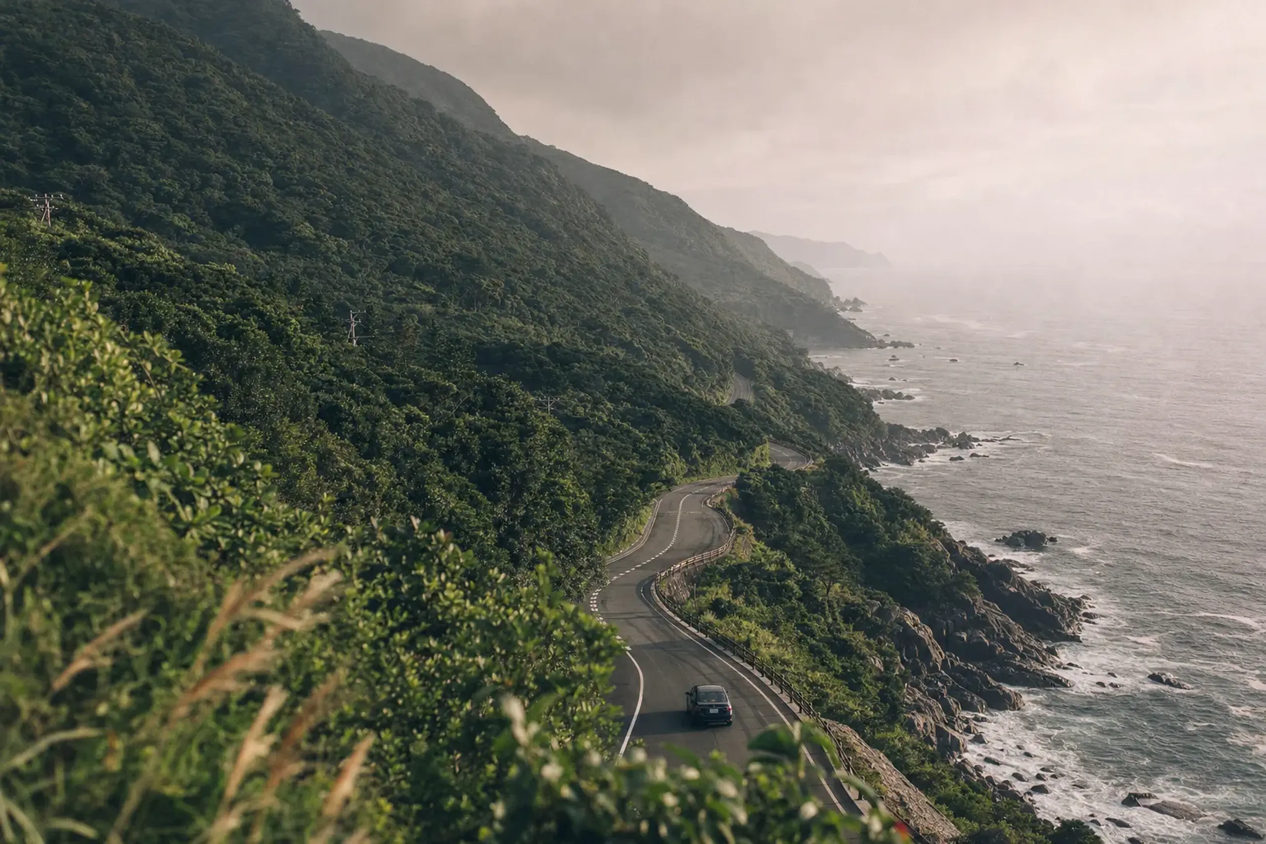
One loop road circles the coast. A full drive around takes about three hours in normal conditions, but summer road notices can change that quickly.
The Rain, Honestly: What Summer Feels Like On Yakushima
Yakushima’s rain is measurable, not mythical: the JMA “Yakushima” station normals (1991–2020) show 4,651.7 mm a year across 164.1 days.
June is the wettest summer month at 860.3 mm (18.5 rain days). July averages 362.4 mm (11.5 rain days). August eases to 256.5 mm (12.9 rain days), and September lifts again to 450.7 mm (14.0 rain days). Reading these numbers well is its own quiet art—a question of shun, of knowing precisely which window in which month rewards the walk.
The saying that it rains “35 days a month” is only a saying. Useful as a mood. Wrong as a plan.
Temperatures stay warm and humid. The same normals give mean temperatures of 23.7°C (June), 27.0°C (July), 27.5°C (August), and 25.7°C (September), with summer highs around 30°C and nights that rarely feel crisp.
Key fact: In abnormal weather—such as continuous rain of 220 mm or more in 24 hours—trailhead roads may close and buses may stop. Confirm notices again on the day.
Pack like you expect to get wet, because you will. Not dramatic. Just practical.
How Long Is The Jomon Sugi Trek From Arakawa Trailhead In Summer?
The Jomon Sugi trek is about 22 km round trip and typically takes roughly 9 to 10 hours from the Arakawa trailhead.
The route begins with a long approach along the old forestry tram track—about 8.5 km—before you transition to about 2.5 km of mountain trail.
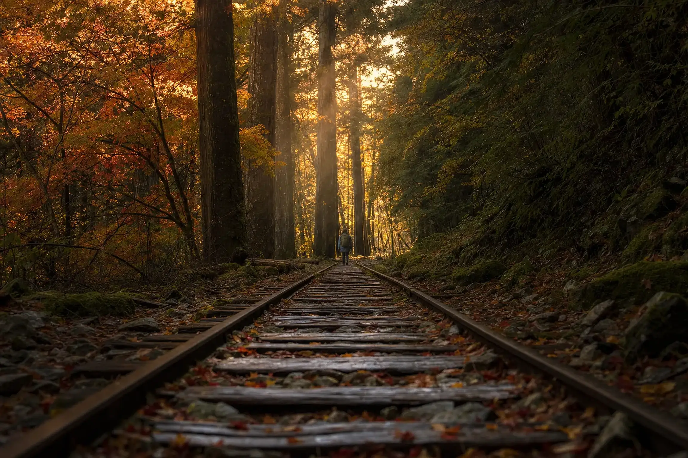
The track is steady underfoot, but it is still a remote hike, with bridges, damp boards, and sections where attention slips at exactly the wrong time.
For timing, the Ministry’s guidance is blunt: leave between 5:00 and about 7:00 at the latest. You are not chasing a photo. You are chasing daylight.
Mobile coverage is poor on most of the mountain. You may find signal at the Arakawa trailhead and at the Jomon Sugi viewing deck, but you should not expect messages to move quickly once you are deep in the cedars.
Can You Drive A Rental Car To The Arakawa Trailhead In Summer?
No—during the restricted season, private cars, rental cars, and motorbikes are stopped at the Arakawa junction gate, and hikers use the Arakawa Trekking Bus.
Yakushima Town’s published rule (updated 10 March 2026) states that from 1 March to 30 November, all day, private vehicles cannot pass the gate at the Arakawa junction. You park at the Yakusugi Nature Museum car park and transfer to the Arakawa Trekking Bus, which runs about 35 minutes each way and has no seat reservations.
Some vehicles such as chartered buses and taxis may pass, but they require the route ticket. Rules and operations are confirmed closer to travel, and again on the day, especially when rain warnings appear.
This restriction is not a nuisance policy. It is a management tool for a narrow mountain road, limited parking, and a very popular trailhead.
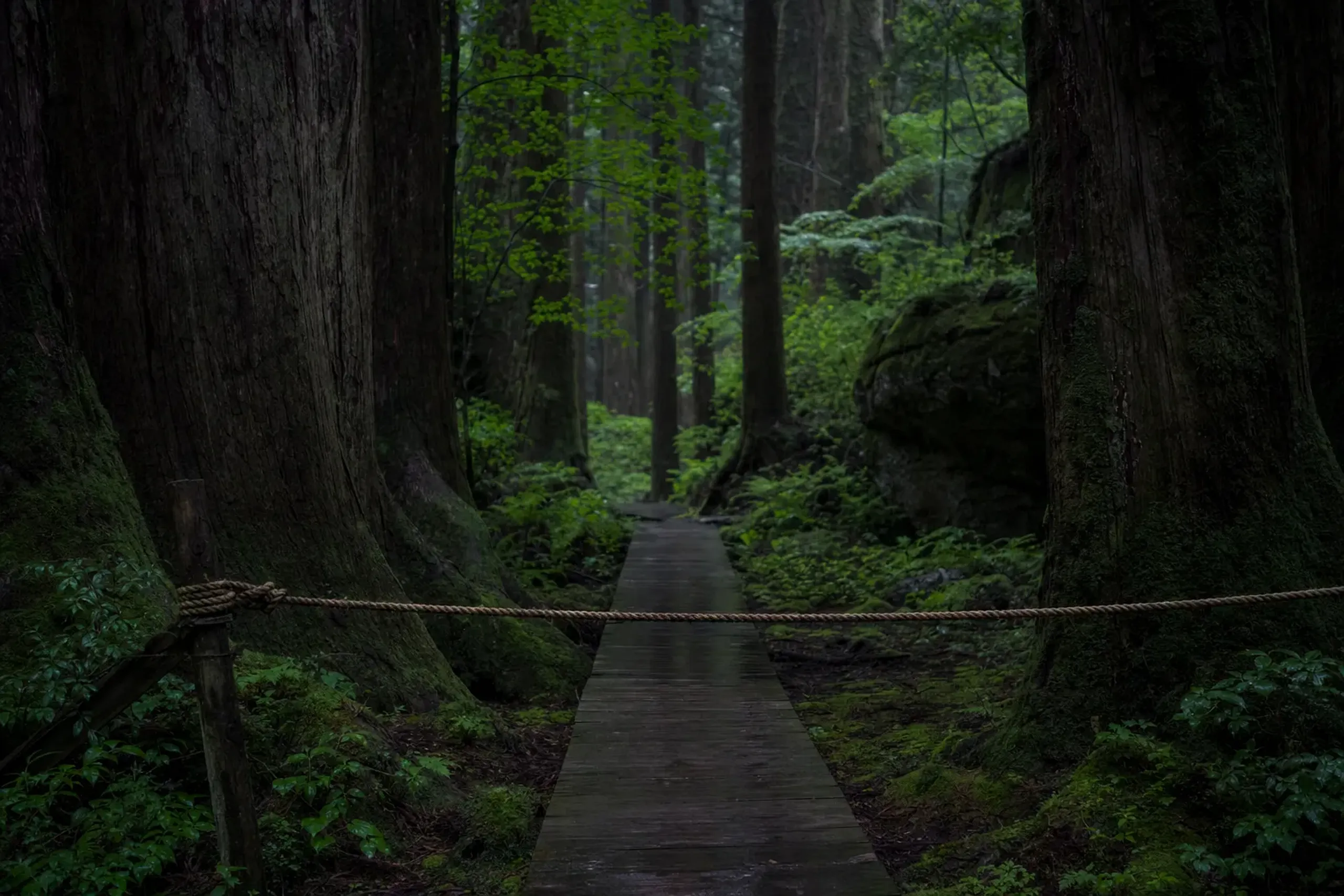
The Jomon Sugi Route: What The Day Actually Looks Like
You begin in darkness. A headlamp beam on wet gravel. Quiet, then the soft knock of rain on leaves.
Before you hike, you submit a climbing registration for each attempt. You also plan for what the trail requires even on a “day hike”: rain gear, a headlamp, a whistle, a map, and a warm layer.
Toilets are a real constraint on Yakushima. Portable kits are recommended, and there are toilet booths on the route, but facilities can close after storms; after Typhoon No. 24 in 2026, notices included closures and manual-flush instructions at certain points. Status changes. Always check again just before you go.
Near Jomon Sugi itself, rules tighten. You stay on the viewing deck. No camping near the tree. Smoking only at designated spots. Your rubbish returns with you, even if the day feels long.
When you finally see the cedar, the first feeling is not triumph. It is scale. Jomon Sugi is 22.2 m tall with a girth of 16.1 m at chest height, and its age is estimated—sources differ, ranging from “over 1,000” to “several thousand.” Standing before something that was already ancient when the first temples of Kyoto were raised recalibrates your sense of time.
Shiratani Unsuikyo And Yakusugi Land: The Gentler Summer Day
Not every summer day on Yakushima needs to be a 10-hour march.
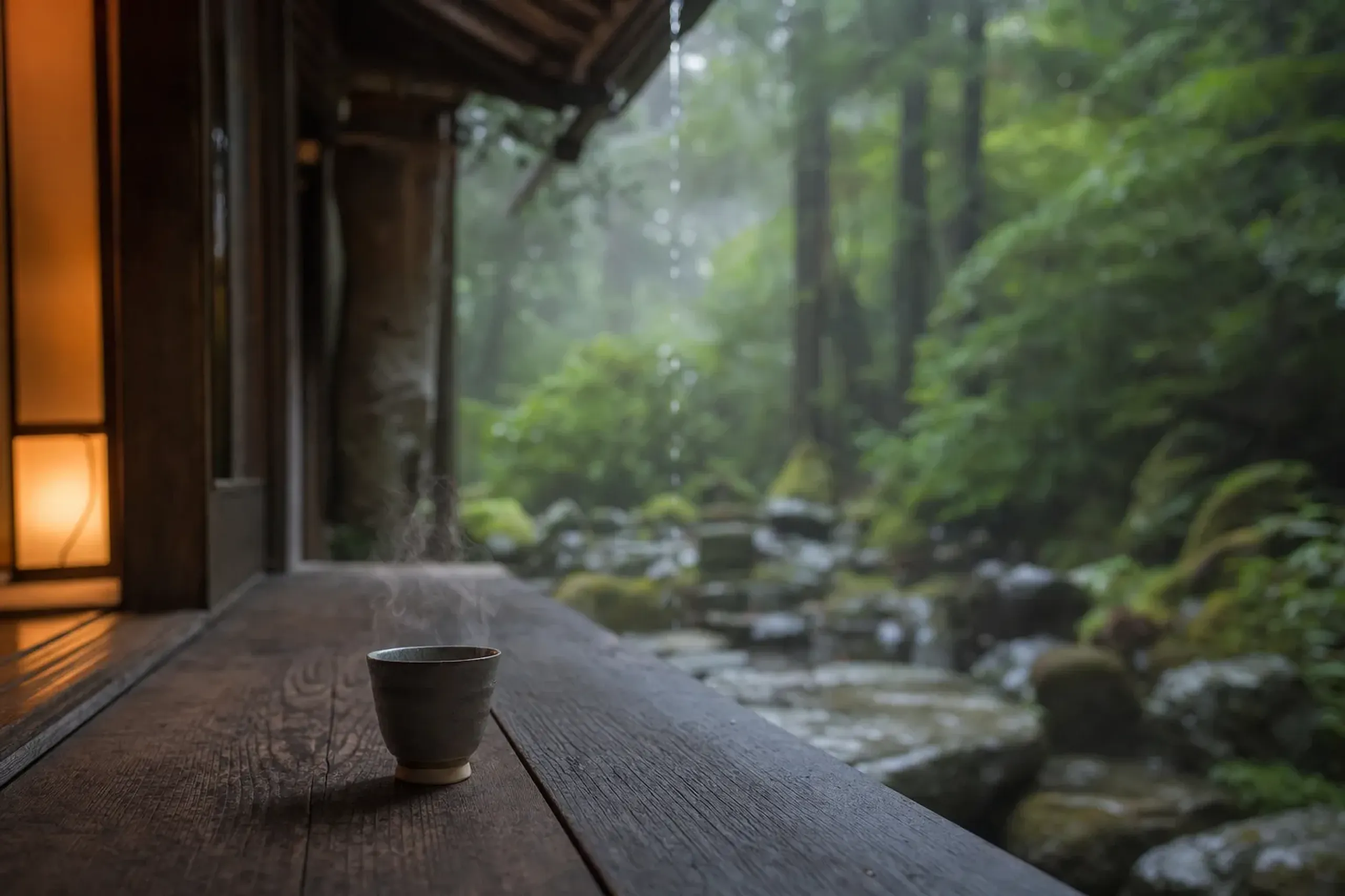
Smart travelers treat the island like a series of weather windows.
Option A: Shiratani Unsuikyo (Moss Forest And Taiko Rock)
Shiratani Unsuikyo sits at roughly 600 to 1,050 meters in elevation. It is open all year, but entry can be restricted during weather warnings.
Courses are commonly described as:
- Yayoisugi: about 1 hour
- Bugyosugi: about 3 hours
- Taikoiwa (Taiko Rock) round trip: about 4 hours (some sources describe 4–5 hours)
The management building hours are 8:30 to 16:30. An entry contribution exists, and it changed in April 2026; amounts are confirmed closer to the visit.
One nuance worth treating carefully: Yakushima Town’s tourism page says Shiratani “became the model” for the film Princess Mononoke, naming the Moss Forest and Taiko Rock. We present that as the town’s description, since statements from the film’s makers are not part of the official forestry guidance.
Option B: Yakusugi Land (Short Loops With Big Cedar Atmosphere)
Yakusugi Land is at about 950 to 1,300 meters. It offers several loop courses—30, 50, 80, and 150 minutes are widely posted, and some guides also describe a longer 210-minute option.
It is open all year with no regular closing days, but storm damage can still change how you enter and exit. In October 2026, for example, notices stated that visitors entered and left through the management building because an exit route was closed.
If you want a satisfying forest day without the full Jomon Sugi commitment, Yakusugi Land is often the calm choice.
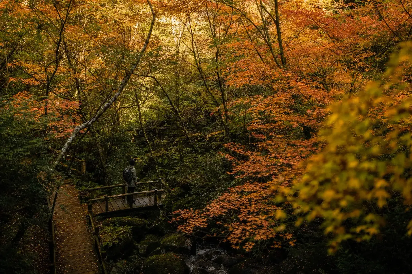
You still carry rain gear. Always.
Waterfalls And Sea Turtle Beaches: Summer’s Other Pilgrimages
After a morning in moss, the coast feels loud. Salt air. Cicadas. A sudden, hard sun between showers.
Okawa-no-taki (Ohko-no-taki) Waterfall
Okawa-no-taki drops 88 meters and is listed among Japan’s “100 waterfalls.” A path leads from the car park to near the base, and it is generally open all year with free access.
In summer, treat water with respect. Flash flooding can happen near streams, especially after heavy rain upstream.
Senpiro-no-taki Waterfall
Senpiro-no-taki drops 60 meters beside a broad granite wall. It is about 100 meters on foot from the car park to the viewing deck.
The stone path can be slippery in rain. On Yakushima, “slippery” is not a warning label. It is the default surface.
Wildlife viewing comes with rules: do not feed monkeys. Keep distance. Let them pass.
Nagata Area Beaches (Sea Turtle Nesting Observation)
In early summer, Yakushima becomes a place of patient waiting. Sea turtles come ashore on certain beaches in the Nagata area.
Official summer operations change year to year, but a 2026 notice described guided nesting observations running from 10 May to 10 July by reservation, with capacity limits (50 people per night) and a strict meeting and check-in window at the Inakahama car park (20:00–20:30), ending around 23:00.
Rules are non-negotiable: no touching, no lights, no photos, no alcohol, no smoking, and stay out of fenced areas.
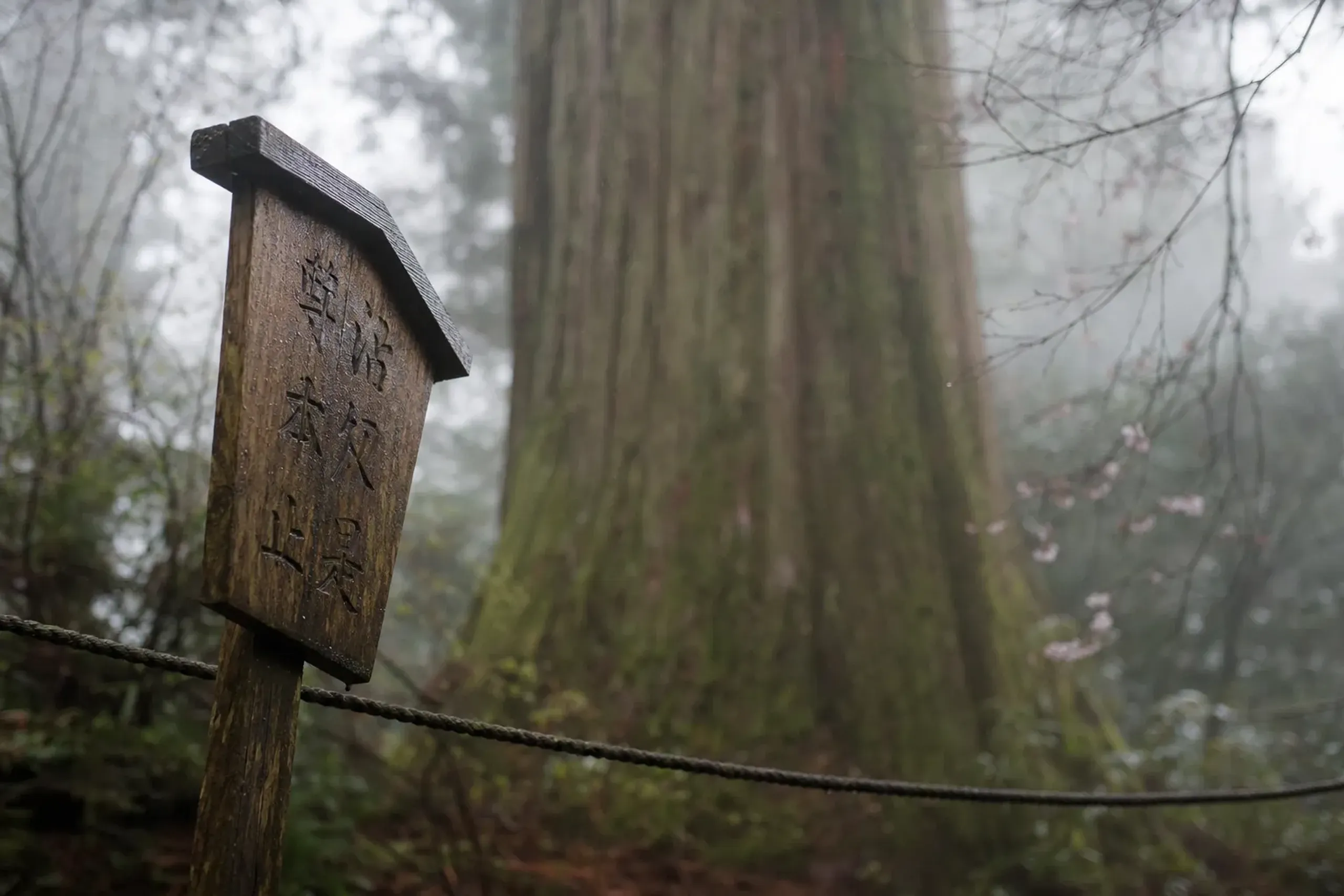
Night entry restrictions to certain beaches apply from evening to dawn, with dates that can differ by notice. Confirm current rules close to your visit.
Typhoon Season In Southern Kyushu: What 2026 Showed
Typhoons approach southern Kyushu from June to October, with an annual average of 3.9 and a peak in September.
That is the climate frame. Now the lived example.
On 5 September 2026, Typhoon No. 24 brought record rain, and the JMA issued a Level 5 sediment-disaster special warning for Yakushima Town from 05:10 to 11:30. No casualties were reported by 7 September, but the message for travelers was clear: access changes fast, and the island chooses safety over schedules.
After the typhoon, public notices and secondary reporting described temporary disruptions, and the Yakushima Tourism Association later posted that conditions on the Jomon Sugi route could include loose ground and a higher risk of falling trees and landslides, strongly recommending a mountain guide. That recommendation matters in summer planning.
Key fact: Build a spare day into every Yakushima summer itinerary. It is not “extra.” It is what makes the trip resilient when ferries cancel or trails close.
Trail statuses also shift mid-season. In 2026, for instance, the Yayoisugi course at Shiratani was announced closed from 18 October, while other parts remained open. Dates vary by year, and you confirm again before you walk.
Getting To Yakushima In Summer (Flights, Ferries, And The Reality Of Cancellations)
Yakushima is reachable by air and sea, and summer plans should assume at least one transport adjustment.
Flights
Japan Air Commuter lists routes to Yakushima from Kagoshima, Osaka (Itami), and Fukuoka. Schedules change by season, and weather diversions are part of island flying in summer.
Ferries And High-Speed Boats
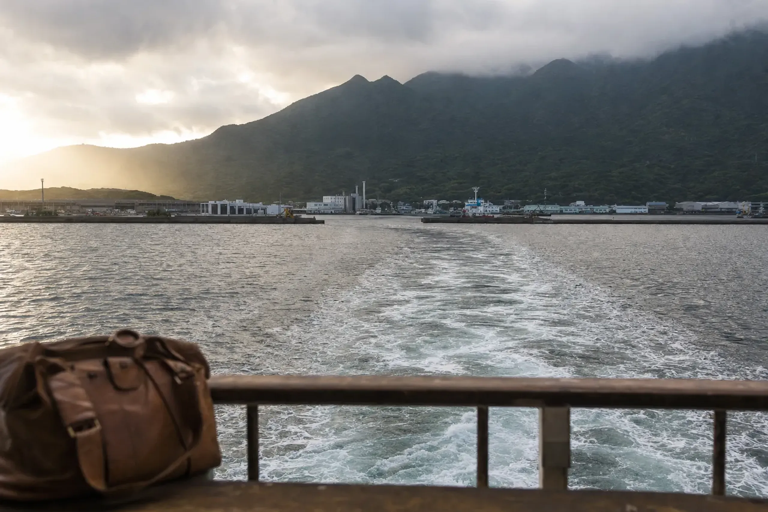
There are multiple sea options, including high-speed boats (jetfoil-type services) whose operators decide on sailing close to departure, commonly about one hour before. Do not plan a same-day tight connection that collapses if a sea state warning appears.
Ferry Yakushima 2 runs direct to Miyanoura once a day in some seasons, but it has scheduled suspension days; for example, all Sundays from July to November 2026 were listed as suspensions. The key point is this: never assume “daily.”
A slower overnight ferry also exists. For some travelers, the overnight option can be the least stressful in summer seas, because you are not staring at the horizon while the schedule updates.
Getting Around The Island: Why A Car Plan Still Matters
Yakushima’s ring road is straightforward, but buses are infrequent, and none run on the Western Forest Road. Taxis are generally phone-only.
Trailheads do not have the conveniences you might expect. The Ministry notes there are no vending machines or shops at trailheads, which affects how you pack water, food, and rain protection.
For many HNW travelers, the comfort play is simple: a pre-arranged car between port or airport, hotel, and the day’s trail access point—then a walking plan that does not rely on last-minute bus timing in heavy rain.
When we discuss private transportation with guests, we also share our broader decision framework on cars versus rail, so each day flexes with the weather rather than fighting it.
If you are connecting Yakushima with a larger Japan journey, we also recommend reading our explanation of how you actually move through Japan: cars, rail, and when each one wins before you lock dates.
How Our Concierge Team Plans Yakushima Summer Days (Without Pretending Weather Obeys)
The core plan is simple. One big day. Or one gentler day. Plus a spare day.
Around that frame, the difference lies in access and discretion. The Japan that Google cannot find reveals itself here through introductions: a seasoned mountain shokunin—a guide who has walked these cedars through decades of storms and can read the ground after rain—paired with a quietly run forest ryokan that does not advertise itself, and seats held on the right sailing before the horizon turns. We hold your identity and itinerary in complete confidence, anticipating the small frictions of island travel before they reach you, so your days are spent in moss-lit silence rather than refreshing a ferry schedule.
When you are ready to design a bespoke itinerary around the right summer window, contact us here, and let Japan Royal Service shape a Yakushima journey that bends gracefully with the weather and stays with you for years.